


WEST MICHIGAN — For the season, the area is running almost three feet below the normal snowfall we should have seen up to this point. For January, we have had only 2.2", with all of it coming in the first five days. That means we have gone almost two weeks without any measurable snowfall and more than two weeks since our last inch of snow.
Sunday will break the trend of snowless days with light snow this morning, getting heavier in the afternoon. While this won't be anything record breaking, an inch of snow today would be about `12% of the season's snowfall.

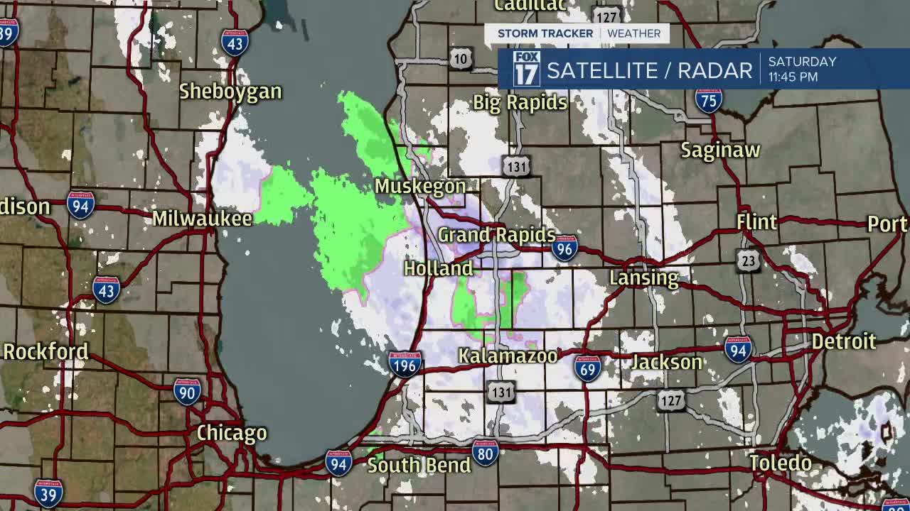
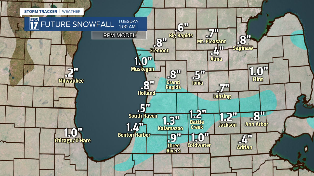
The snow will be a result of lake-effect from Lake Michigan and system snow from a weak wave of energy swinging out of Canada and into Indiana and Ohio. This will give a boost to the snow that is already falling by lifting more moisture off of Lake Michigan into the clouds, and producing heavier snow that falls on top of us. The snow will gain some momentum in the afternoon, then fall apart overnight. This leaves a solid 12-hours of decent snow rates to get us to half an inch to one inch of snow from I-96 and north. One to two inches of snow, with isolated higher amounts possible in Van Buren, Cass, Allegan and Berrien counties, is possible from I-96 to the Indiana border.
More light snow is likely on Martin Luther King Jr. Day, with most seeing an inch or less. We might have to brush off the car windshield a few times over the next couple of days, but breaking out the snowblower seems unlikely.
