


WEST MICHIGAN — The streak of nice weather weekends around West Michigan is about to come to an end. A wet weather maker is expected to arrive Saturday and bring some fairly significant rainfall to all of West Michigan. This system will also bring a good deal of wind, driving temperatures up and then down through the course of the weekend.
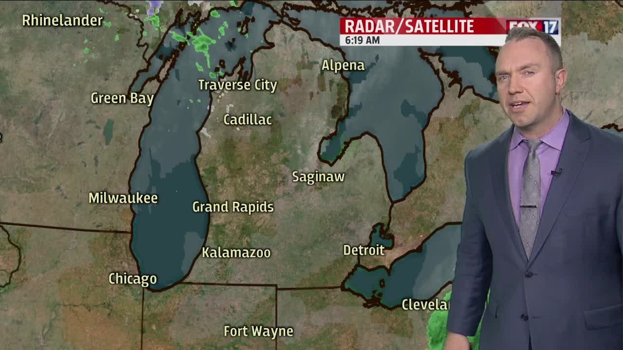
Before this system arrives, we have a couple weaker disturbances that will pass by over the next 48 hours. The first chance for any rainfall will be with an area of low pressure passing through the Upper Midwest this evening and overnight. The track of this low pressure appears to be too far to the north and any sprinkles/light showers for us would be, indeed, very light and scattered. Amounts of rain will be very minor overnight tonight into early Thursday morning.
The next weather disturbance is likely to have a bit more of an impact later Thursday afternoon and evening with showers returning for Grand Rapids and especially southward. Another area of low pressure will be shifting from south-central Illinois through central Indiana and Ohio from Thursday afternoon through the early hours of Friday. This system has the potential to drop up to a quarter of an inch of rainfall around Grand Rapids with up to one half of an inch around Kalamazoo and Battle Creek and southward. Any rainfall, however, will be long gone by daybreak Friday.
After a mainly dry Friday, we then turn our attention to a low pressure center set to take a track from eastern Colorado through Kansas into eastern Nebraska, Iowa, and eventually Wisconsin and the Upper Peninsula of Michigan. This system will send some initial showers into southwesternmost sections of Michigan perhaps as early as the evening hours on Friday. This initial band of wet weather looks to impact locations around Grand Rapids and southward before shifting off to the east and weakening early Saturday morning. After perhaps a lull in the precipitation for a stretch mid-late morning into the early afternoon, a much better surge of widespread heavier rainfall looks to arrive at some point Saturday afternoon into the evening.
As low pressure passes out to our west, a surge of very mild air on gusty southerly winds will send temperatures to around 60 degrees by late evening Saturday. A few thunderstorms will be possible at this time. As low pressure continues to move northeastward into the day on Sunday, we will be on its backside and colder air will be rushing in on brisk southwest to west flow at 15-30 mph gusting to 40-45 mph.
Scattered rain showers will continue to be possible through the back half of our weekend. Rainfall amounts are likely to range between 0.75" to as much as 1.25" with the Saturday/Sunday weather system.
