


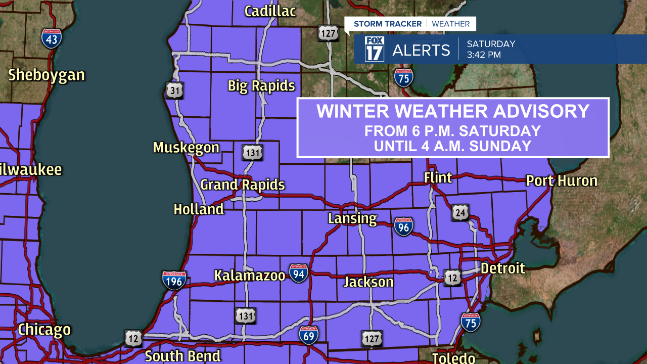
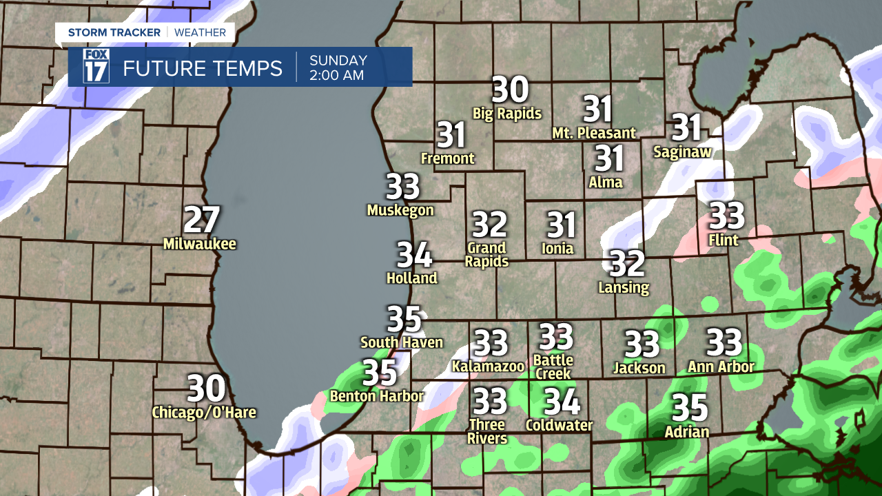
GRAND RAPIDS — A Winter Weather Advisory goes into effect for almost all of West Michigan at 6 p.m. until 4 a.m. Sunday morning. Berrien, Cass, St. Joseph and Branch counties are under an advisory until 3 a.m. Sunday morning. We expect the chance of wintry mix and freezing rain during this time frame. Temperatures are also set to peak in the overnight / early morning hours of Sunday which is why our temperatures remain very similar during this time frame.

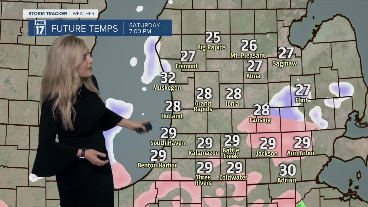
Here is a look forward as that wintry mix and freezing rain is due to arrive anytime around and after 6 o'clock. Any of the pink coloring you see is representing wintry mix and possible freezing rain. This will be around in more of a scattered fashion as this system pushing through our region.

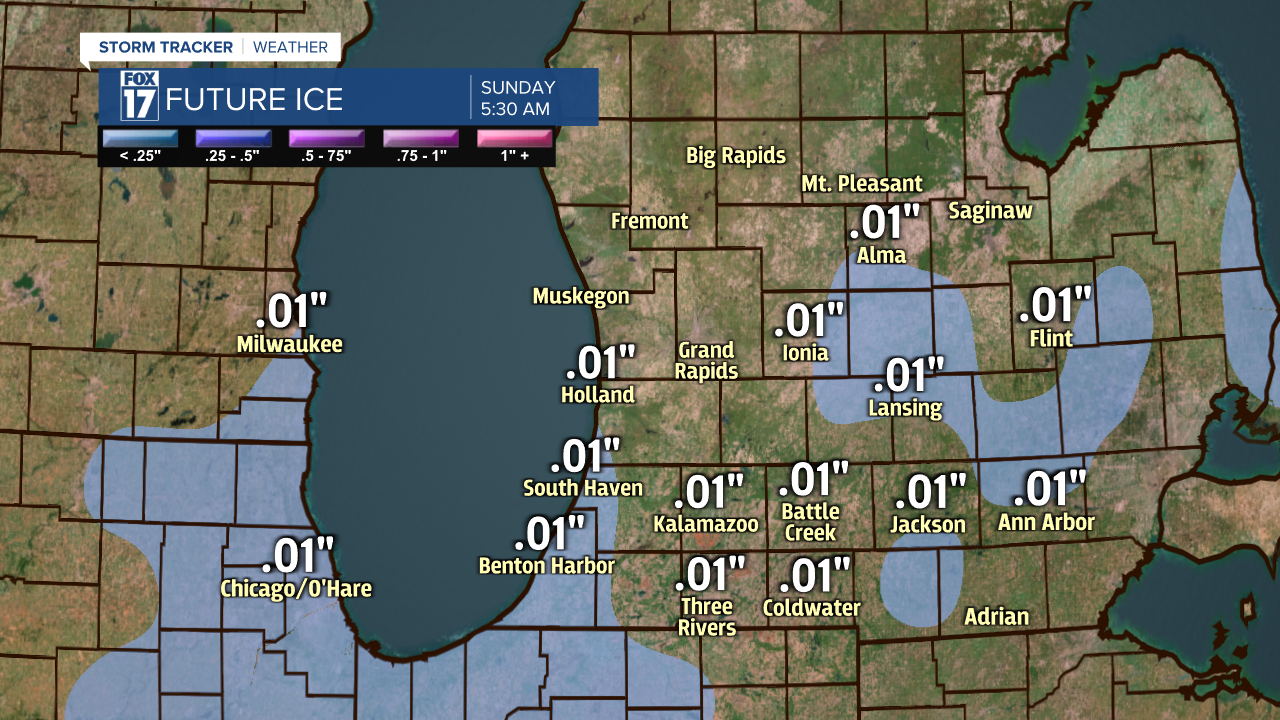
This event will have minor accumulation with freezing rain being the biggest concern. Even a small amount of ice can cause hazardous conditions out on the roads. Be alert and cautious this evening and overnight with any ice accumulation or wintry mix.
Sunday arctic air comes rushing back into West Michigan quickly dropping temperatures from the 30s to the 20s and teens. We will keep a mix of cloud cover for much of Sunday before lake effect snow starts up again and continues into Monday and Tuesday. Bundle up and drive safe!

