


GRAND RAPIDS — Very quickly temperatures have become cooler around West Michigan with the addition of rain and wind back in our forecast this week. A weather phenomena known as a waterspout can happen with these conditions during this time of year. We’ve seen them before and actually can see them all around the Great Lakes region.
Check out this picture from the National Weather Service of an example of waterspouts. They look like tornadoes out of the water right?? What happens is cold air travels over the relatively warm open waters and creates this large temperature difference then forming the funnel we commonly think of as a tornado.
Water temperature, air temperature, moisture and wind speed are all parameters considered in order for them to form. Typically, we need to have warm water, cold and moist air with relatively light wind speeds.
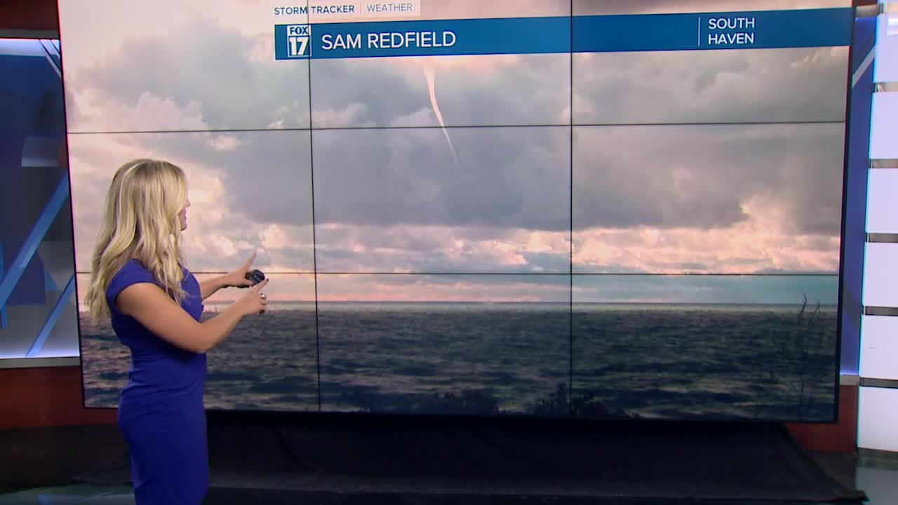
Above are a few photos sent in from Fox 17 viewers yesterday evening of what could have been a waterspout or at best a cold air funnel. We will have a better chance of seeing these possibly later this week as well so be on the look out!
There's actually two types of waterspouts that can form; tornadic and fair weather. Tornadic waterspouts act like land tornadoes and can form over water or move from land to the water. We usually see fair weather waterspouts as they happen only out over water and are short lived and move less. Fair weather waterspouts are rarely dangerous mostly impacting anyone out on the water or if they do happen to move on-shore they tend to dissipate quickly causing little to no damage.
We see these form over the Great Lakes region around late summer and early fall typically during the months of August, September and October.
