


GRAND RAPIDS — Strong storms ripped through West Michigan on Saturday, leading to several severe thunderstorm warnings and tornado warnings. West Michigan is waking up to destruction, isolated power outages, and flooding concerns Sunday.
There were four tornado warnings with trained spotter confirmation in Ionia County, Mecosta County, Eaton County, and near Michigan State University. These storms have not yet been confirmed by the National Weather Service. Trained spotters are able to report what they are seeing, but the National Weather Service will verify that the damage was in fact a tornado and not straight-line winds.

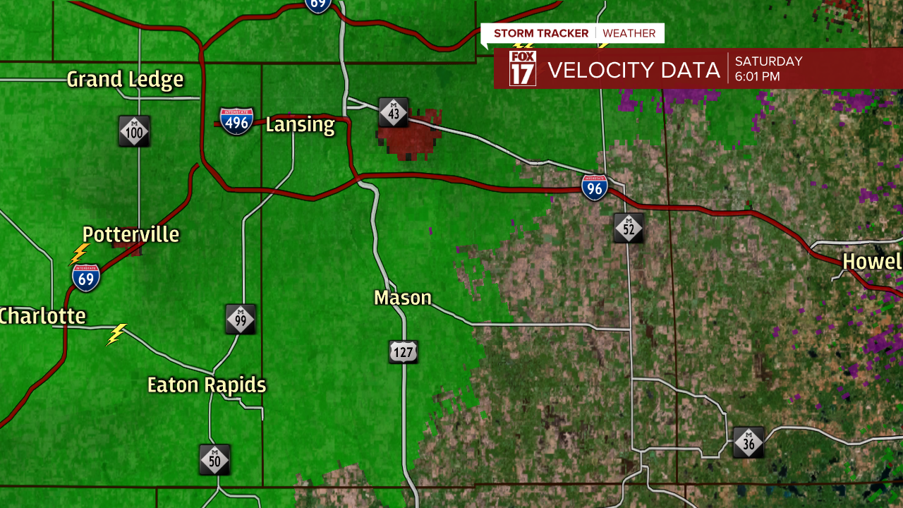
The images below are indicate storm velocity. Velocity maps are critical to tornado warnings being issued because they indicate rotation. Whenever you see green and red together on a velocity map, it means that there is movement towards and away from the radar. Green represents movement moving towards the radar, and red represents movement away from the radar.

The National Weather Service and FOX 17 meteorologists use this parameter when severe storms are moving through West Michigan.

There's a small chance for severe storms again today! Parts of West Michigan fall under a marginal risk for severe weather today. While the threat is much lower than yesterday, it is important to remain "weather aware" when strong storms are possible. The main threats today include strong winds and heavy downpours.

