
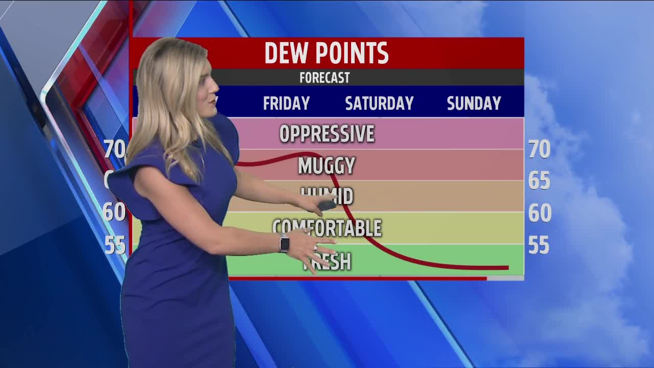


GRAND RAPIDS — WEST MICHIGAN — The forecast from FOX 17 Meteorologist Candace Monacelli: Showers and a few thunderstorms will become more likely on Thursday as a cold front and some upper level energy pivot across the Great Lakes. Severe weather is not anticipated, but brief, heavy rain and some gusty winds are possible in some of the storm cells that form. Warm, muggy conditions will continue through Thursday, but sharply cooler, more comfortable, drier air filters in by Friday and continues through the weekend. For Saturday and Sunday highs are only expected in the 60s with morning lows in the 40s! Another warm up should commence by the middle of next week as highs approach 80 again or better.
TODAY: Mostly cloudy with showers likely and a chance of thunderstorms. Highs in the mid/upper 70s. Winds south/southwest at 7 to 14 mph.
TONIGHT: Cloudy with a chance of showers and isolated thunderstorms. Lows around 60. Winds southwest/west at 6 to 12 mph.
FRIDAY: Chance of early morning lingering showers, otherwise becoming mostly sunny to partly cloudy. Cooler and less humid. Highs in the low/mid 70s. Winds west-northwest at 10 to 15 mph.
SATURDAY: Partly cloudy and cool. Highs in the mid/upper 60s.
SUNDAY: Partly cloudy and cool. Highs in the middle 60s.
MONDAY: Partly cloudy to mostly sunny. Warmer with highs in the lower 70s.
