
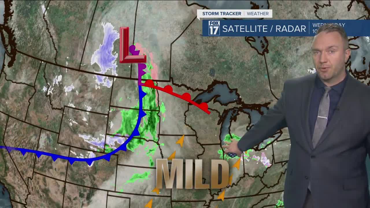


WEST MICHIGAN — WEST MICHIGAN — The forecast from FOX 17 Meteorologist Anthony Domol: A weak, moisture-starved disturbance passing overhead this evening will add clouds and may drop a few sprinkles or a patch of drizzle but nothing important will be happening this evening weather-wise around West Michigan. Expect a mild overnight for the season in the low 30s. The next system to deal with arrives later Thursday evening with rain showers transitioning to snow showers into Friday morning. Some light slushy accumulations could occur at that time. Periodic flurries and light snow showers will impact us Friday into Saturday but only very minor accumulations are in the forecast. Additional snow showers will be possible Sunday into early next week with various weak disturbances cruising in from the west and northwest. That said, no big storms are anticipated over the next 7 days.
OVERNIGHT: Any light rain ends. Skies become partly cloudy overnight. Lows in the lower 30s. Southwest to south winds at 5 to 10 mph
TOMORROW/THURSDAY: Mostly cloudy to perhaps partly sunny during the morning. Clouds increase through the afternoon. Highs near 40. South to southeast winds at 10 to 15 mph.
THURSDAY NIGHT: Mostly cloudy. Rain showers or a mix of rain & snow showers develop mid-late evening. Rain changes to snow overnight. Light slushy accumulations are possible. Lows in the low to mid 30s. Southeast winds at 5-15 mph become south overnight.
FRIDAY: Mostly cloudy with on and off again flurries/snow showers. Some rain may mix in as well. Highs in the mid 30s. South winds at 5-10 mph.
SATURDAY: Mostly cloudy with light scattered snow showers. Highs in the low to mid 30s.
