


WEST MICHIGAN — WEST MICHIGAN — The forecast from FOX 17 Meteorologist Anthony Domol: The unrelenting cloud cover of recent days shows no signs of giving up the ghost anytime soon. The bulk of the rest of the week and weekend is likely to be quite gray around West Michigan. Dry weather, however, is anticipated for tonight and tomorrow with temperatures getting a bit milder through the next 24 hours. A max reading near 40 degrees is possible Thursday before our next weak system arrives later that afternoon or evening with some drizzle and light rain showers. This activity will transition over to flurries and snow showers through Friday. Additional scattered flurries and snow showers will be possible into the weekend but as of right now only minor accumulations of snow are expected.
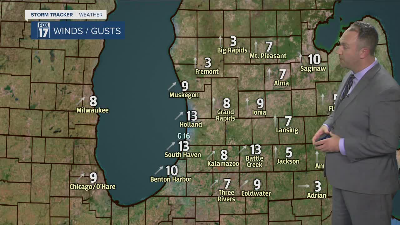
TONIGHT: Mostly cloudy. Still areas of mist and fog this evening especially north and east of Grand Rapids. Temps hold steady in the low 30s. Southwest winds at 6 to 12 mph.
TOMORROW/WEDNESDAY: Mostly cloudy and milder with highs in the upper 30s. Southwest winds at 10 to 15 mph.
WEDNESDAY NIGHT: Mostly cloudy. Lows in the lower 30s. Southwest to south winds at 5-10 mph.
THURSDAY: Mostly cloudy. Chance for rain showers developing through the late afternoon into the evening. Rain will mix with and possibly change to snow showers late at night. Highs in the upper 30s to near 40. South to southeast winds at 10-15 mph.
FRIDAY: Mostly cloudy with on and off again flurries/snow showers. Some rain may mix in as well. Highs in the mid 30s.
