


GRAND RAPIDS — West Michigan is waking up to another beautiful day on Sunday with plenty of sunshine and mild air! Temperatures will work into the upper 40s with a breezy southwesterly wind.

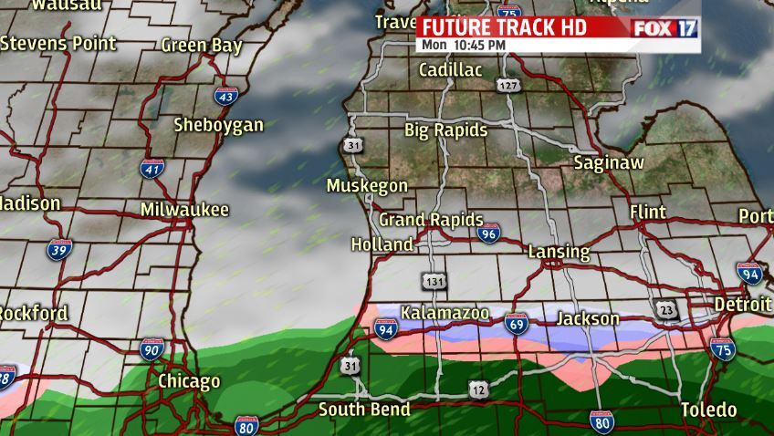
We have to really soak up the sunshine because rain/snow mix and cold temperatures are on the way. Monday we expect to stay mainly dry and partly to mostly cloudy before the rain/snow mix arrives later on. The wintry mix will move in from south to north and will continue to stay in our forecast throughout Tuesday. Temperatures will also start to drop back into the 30s.
Wednesday we will transition to full snow chances with a few inches of snowfall expected. Models are still not 100% agreeing on this midweek system so changes can and will still be made leading into Wednesday so check back with us! Arctic air will move in behind this initial push of snow. We will see that arctic air bring the chance of lake effect snow both Thursday and Friday. Expect temperatures in the 20s both days.

We will rebound out of the bitter cold air and snow by next weekend when we see the 30s again with sunshine chances.

