


GRAND RAPIDS — We started Saturday with clear skies and bitter cold temperatures. CLoud cover quickly moved in and temperatures worked into the teens. Still a bitter cold start to the day with strong south and south westerly winds making us feel a good ten degrees colder. Snow will start to work in for the afternoon and evening hours with very light showers. Expect a general dusting to inch of snowfall with a possible 2 inches in some locations.

Winds will stay strong throughout the day impacting the lakeshore the most with possible 40 to even 50 mph winds. Lake shore flood warnings and advisories have been posted until 7 o'clock this evening.

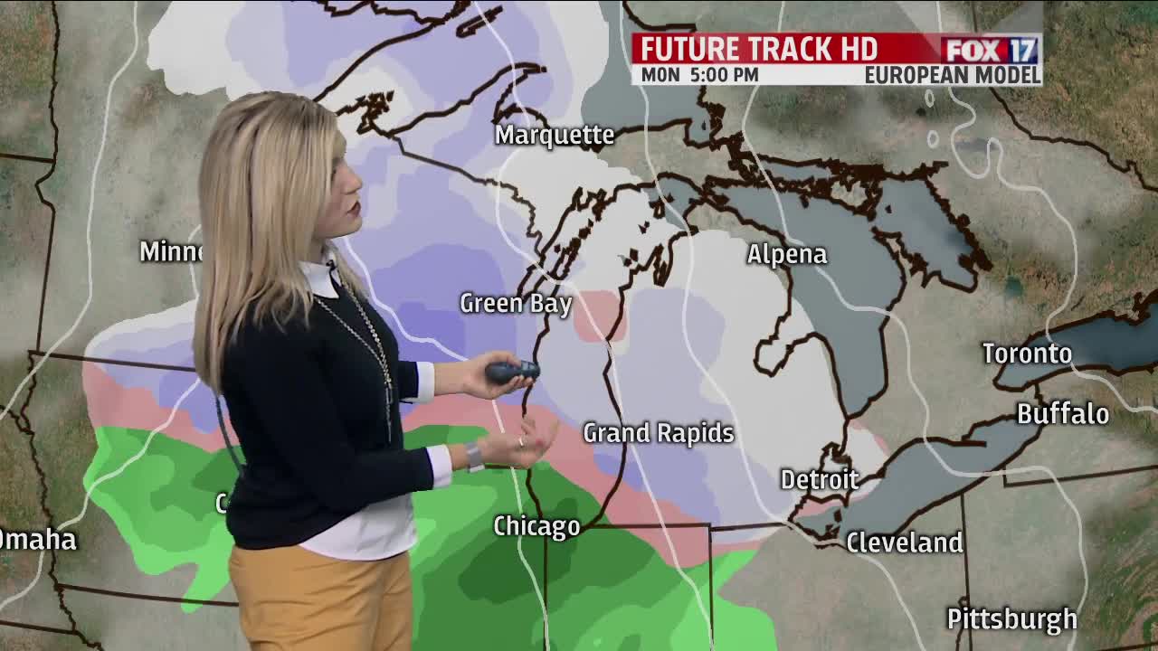
We are expected to stay dry on Sunday and for the first part of Monday until our next system moves in bringing a rain/snow mix. We expect this system to first bring in snow, then a wintry mix and eventually rain on Monday before finishing with a wintry mix Tuesday morning. Plan ahead for a possible slick Tuesday morning communte.

Throughout the week we will dip back down into the 20s and have lake effect snow chances on both Wednesday and Thursday. Sunshine returns next Friday!

