


GRAND RAPIDS — West Michigan saw plenty of widespread rainfall over the early morning hours before our system pushed those showers off to our north and east. We will transition to more of a scattered fashion with showers and possible storms in the afternoon and evening. Plan on cooler temperatures in the middle to upper 70s.

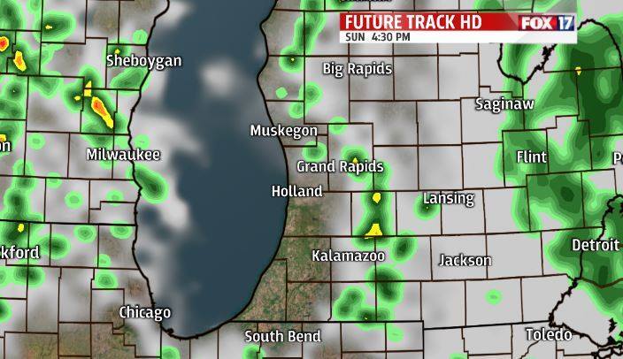
Rain chances and the cooler temperatures will continue into Monday as our two recent low pressure systems drag in cooler air from the north. Showers on Monday will be scattered and seen mostly in the afternoon with a possible thunderstorm. Nothing expected to be severe. Over the course of the three rainy days we expect to gain about 2 inches of rainfall. Our soil moisture is only at 30% so we have room for this rainfall to soak into our dry ground.

Tuesday we can see some isolated rain chances on the backside of the system with partly to cloudy skies and some of the coolest temperatures we have had since the 2nd week of June. Don't worry though the heat will be back as we will dry out and slowly warm up heading toward next weekend. Enjoy!

