


GRAND RAPIDS — West Michigan woke up to several inches of snow upwards of nearly 6 inches for some leading to difficult road conditions. The rest of the day will have the chance for lake effect snow shower this afternoon with a mix of sun and clouds inland. Temperatures will end up in the 20s feeling like the teens with a mostly north wind. Bundle up and drive safe!

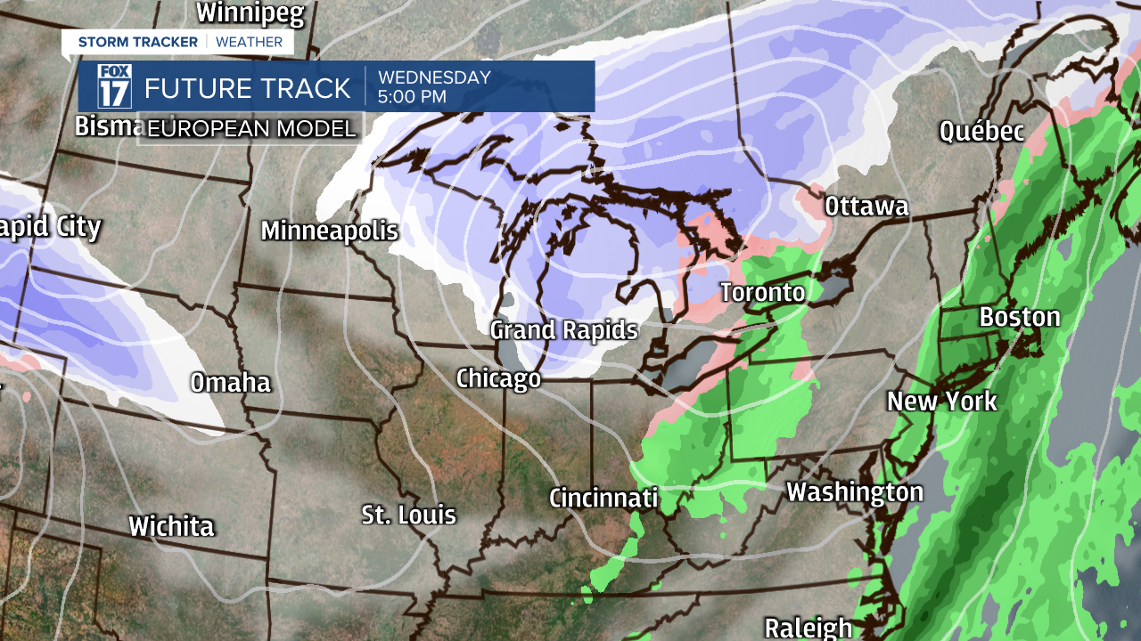
Monday and Tuesday will be quiet with a mix of sun and clouds and actually our warmest temperatures for the week on Tuesday. Wednesday is when things start to change bringing in much colder air and more snow. A low pressure system moves in on Wednesday with colder temperatures behind that system and snowfall for the end of the week. Lake enhanced and lake effect snow showers expected for Wednesday through Friday. Daytime highs only in the 20s and teens with overnight lows in the single digits. Stay tuned for specific details in regards for expected snowfall totals.

We dry out for next Saturday back with some sunshine and temperatures in the 20s. Bundle up and stay safe!

