


GRAND RAPIDS — West Michigan woke up to wet slushy snow for many and others a light dusting or just plain cold rain. A mix bag of precipitation as this rain and snow mix continues through at least the first half of the day. We should see more rainfall this afternoon that can help to wash away and or melt away what snow we did receive. Our current low pressure system will start to move away today and we will get a break in activity this evening with dry mostly cloudy skies. Temperatures only work into the lower 40s.

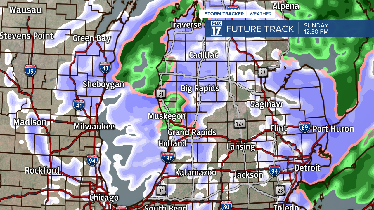
Our break in the rain and snow activity will only last so long. Overnight as we work closer and closer to Daybreak on Sunday we will start to see our next round of rain/snow mix move in with a clipper system snow set up. This system snow will last with the rain and snow mix style through our Sunday and can linger overnight into early Monday morning. We expect to have another round of the wet slushy snow about 1-2 more inches expected.

In true West Michigan fashion by mid-week next week we push temperatures back into the upper 40s and lower 50s for Tuesday and Wednesday. We will have rain showers Tuesday overnight overnight into Wednesday with a passing cold front. Behind that cold front temperatures drop again and we return to a rain/snow mix.

