


GRAND RAPIDS — West Michigan woke up to wet slushy road ways which can become icy as temperatures drop below the freezing mark through the start of the day. Arctic air will rush in today taking our temperatures from the 30s to 20s and ultimately the teens. Outside of an early morning lingering snow flurry we will stay mainly dry and mostly cloudy. West northwest winds expected to be gusting upwards of 25 to 35 mph making temperatures feel a good 10 degrees colder than the actual temperatures.

Arctic air will stay in West Michigan through Tuesday as we will have some of the coldest temperatures we have seen yet this season. Our actual temperatures will be in the teen feeling like the single digits and even below zero at times.

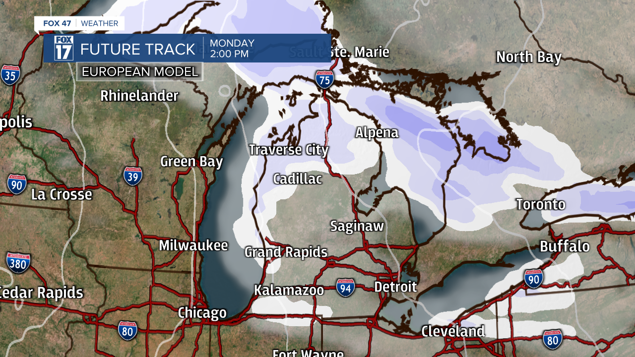
Lake effect snow builds in overnight Sunday into Monday and stick around into the early hours of Tuesday morning before wrapping up. We expect only 1 to 2 inches of snow but it will still cause challenges on the roads. The smaller snowflake will easily blow around in the gusty winds and reduce visibility. Plus with the bitter cold temperatures salt will not be effective to help road conditions.

We rebound our temperatures back into the 30s an\d take a break from any winter weather by mid-week. Bundle up and stay safe this week!

