


GRAND RAPIDS — West Michigan will have mostly cloudy skies with breezy winds on Saturday. Temperatures will work into the lower 40s but feel like the lower to mid 30s in the afternoon.

An upper level trough moves in Sunday into Monday bring in rain and snow chances plus colder air and gusty winds. Each forecast update leads to less and less rainfall and snow chances as there is not a lot of deep moisture available with this system but we still can see this rain and snow. Rainfall expected possible throughout your Sunday with still plenty of cloudy dry time and snow fall with some lake effect expected Monday mostly early on with accumulations looking to be an inch or less.
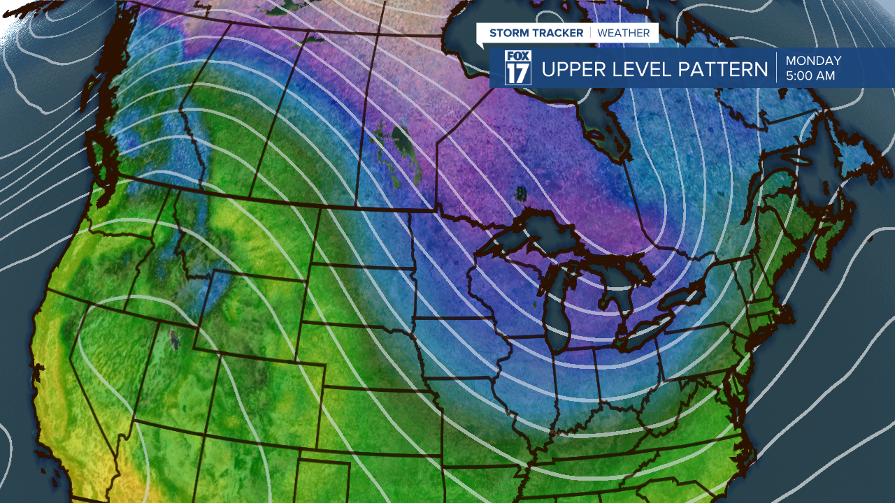
Gusty winds will bring in 30 to 40 mph wind gust making temperatures feel much colder. Monday morning we will feel like our temperatures are in the teens and even single digits for some and by the afternoon still only feeling like we are in the lower 20s. If you haven't taken out the winter gear yet now is the time!

Rain chances are around for the busiest travel day of the year and snow chances have been added to Thanksgiving Day. Have a great weekend!

