


WEST MICHIGAN - The Atlantic hurricane season's statistical peak occurred this past week with five different tropical systems at one point or another. One has been of particular concern lately here in the United States; Hurricane Florence. Florence is currently a category 2 hurricane and will make landfall late Thursday night or early Friday morning. With it will come destructive winds and flooding rains, along with substantial storm surge. Last year around this time, Florida was dealing with Hurricane Irma. Engineers from around the country, including Fred Haan of Calvin College, came together after that storm to assess damage.
There are two stages to that assessment. The first is a group is sent down to put instrumentation in the path of the storm. Wind sensors and radar trucks are set up to monitor wind speeds as the storm comes ashore. The second group will then go down and estimate wind damage. They take their findings, put them up against the specific housing codes during when particular houses were built and find how strong the winds got. They also take their findings and put them into updating housing codes for the future.
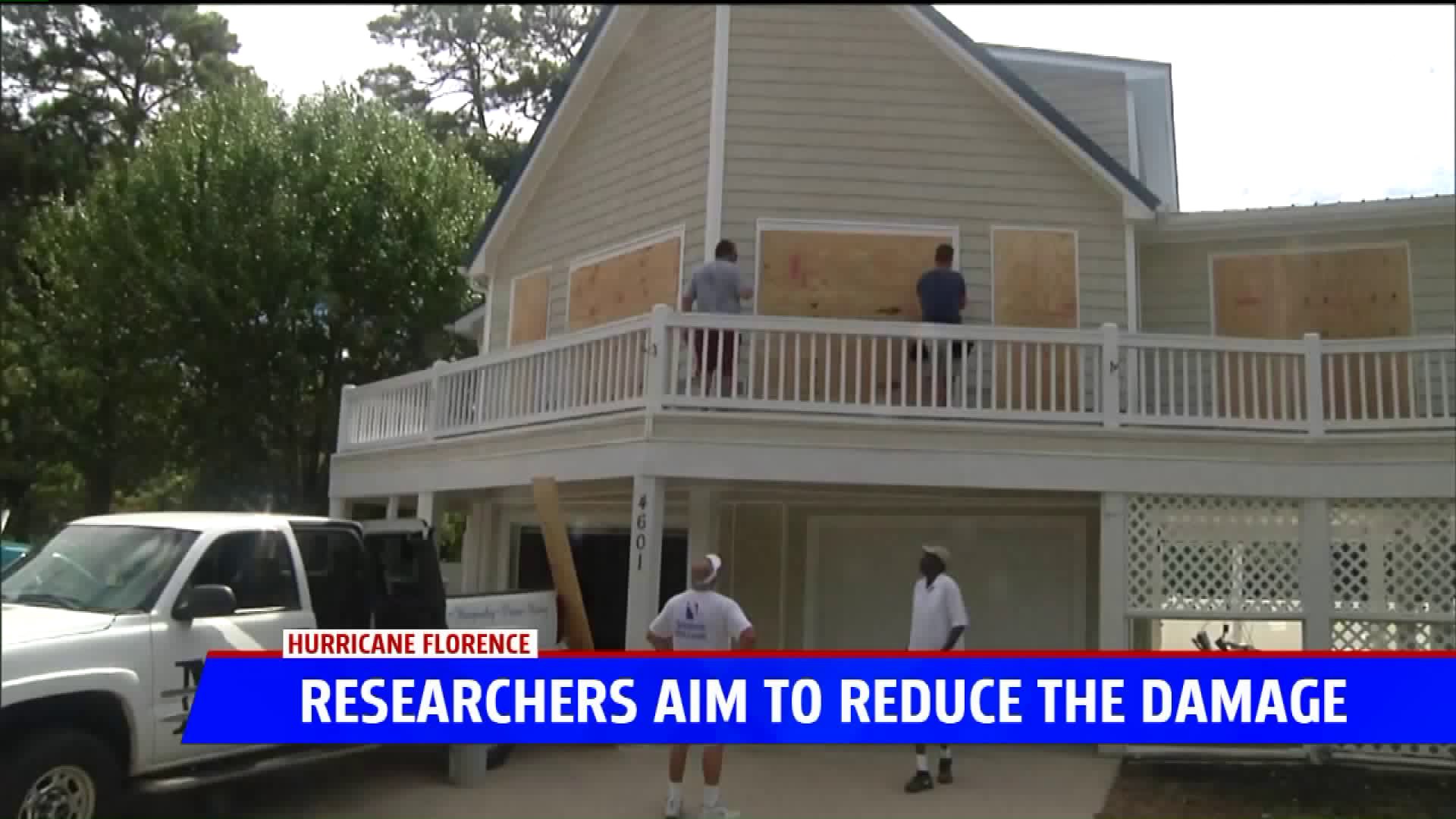
According to Haan, most building codes are designed for 130-140 mile per hour winds. This is above what we expect with Florence, meaning things that are up to code and built correctly will do just fine if properly boarded up. Homes that were not built recently will likely not be as fortunate, potentially seeing damage to roofing and windows.
Once Florence moves inland, winds will go down, but the threat will transition to flooding as Florence will hang around the southeast for several days. This part could be the most damaging piece of the storm, as the coverage will be widespread. Most homeowners also only have insurance that covers damage from wind and not water, making this threat even more troubling.
