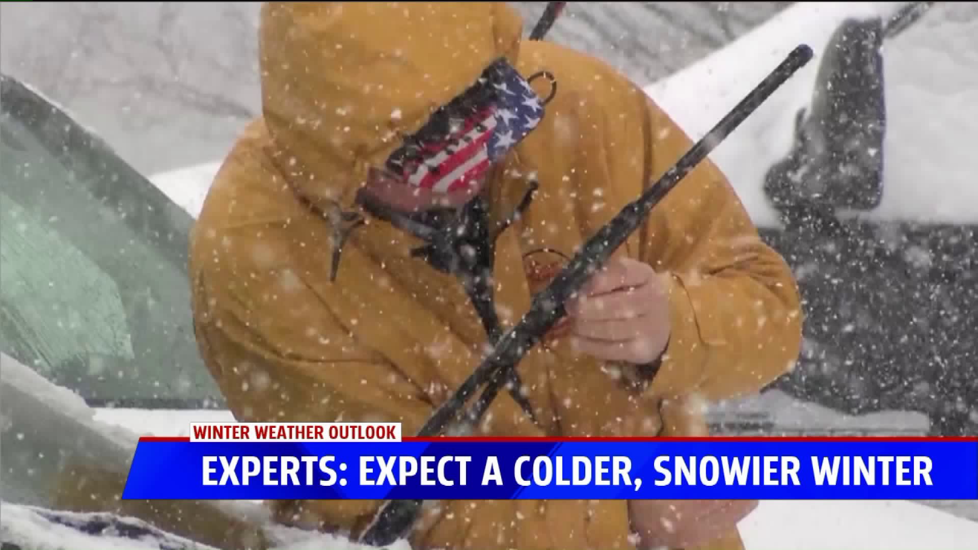
GRAND RAPIDS, Mich. - The weather is still warm, but cold and snow are just around the corner.
And many of you have been asking what to expect this winter. Experts say it could be more severe than last year.
Details of snowfall for an entire season are always tough to predict, but there are some factors that point to a more severe season than in the past. First, the last two winters have been warmer than average, with last year seeing the 9th warmest on record in Grand Rapids, and the year before that was even a little warmer. Bill Marino at the National Weather Service in Grand Rapids says it is rare to have three warm winters in a row.
Also, Marino says the La Nina is relatively weak right now, which means slightly cooler than normal water off the coast of South America. That usually translates to normal or below normal temperatures in West Michigan. Snowfall totals with a weak La Nina are tougher to predict, but generally mean heavier snows in the second half of winter.
Snowfall totals in Grand Rapids have been more than a foot below average the last two winters. Normal in Grand Rapids is about 75 inches of snow and Muskegon is about 93 inches. The first measurable snow for Grand Rapids usually occurs in about a month.
Be sure to download the FOX 17 Weather App to keep track of all the winter forecasts, day-by-day, throughout the season.


