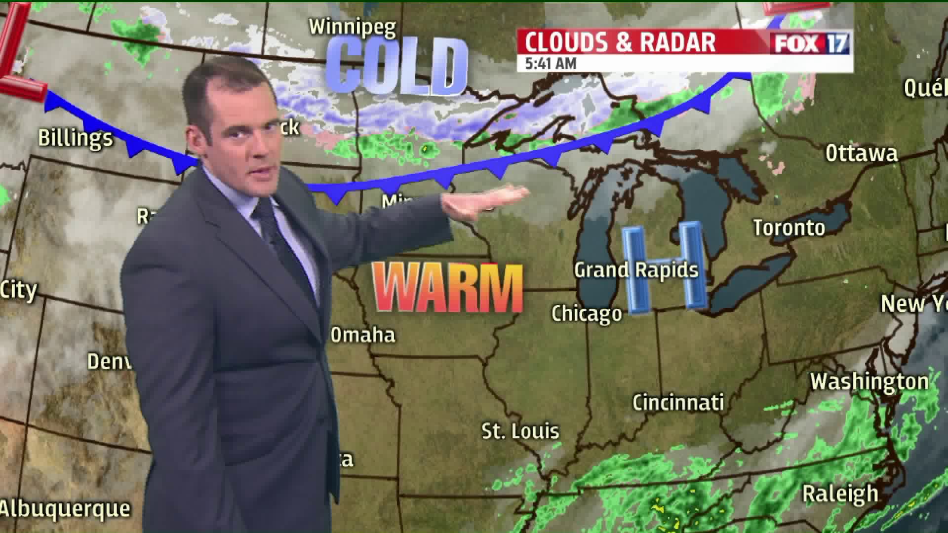
WEST MICHIGAN — High pressure in control of our weather once again means the beautiful conditions will continue today, and for the next couple of days.
There is a cold front making its way across the Upper Peninsula this morning with colder air, rain, and even snow. However, this front will weaken significantly by the time it gets here this evening. That's why we're only expecting some increase in cloud cover by sunset and a subtle push of cooler air with it this evening.
Here is a look at where that front is as of this early morning writing:

Afternoon highs will still be at least as warm as yesterday:

It will still be a nice day to be on Lake Michigan as well:

Other than a few evening clouds behind that cold front, tonight should be mostly clear:

Temperatures will continue to warm up on Monday and Tuesday as we pick up more of a south to southeasterly flow ahead of an area of low pressure in the Plains. Our next chance of rain will come on Wednesday as that low pulls a cold front into the area.


