


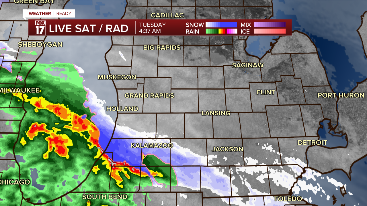
WEST MICHIGAN — A system out in the Plains states passing through the Ohio Valley overnight will drag moisture over the top of cold air here in West Michigan, creating the risk of an icy wintry mix on and off Tuesday morning.
This will be a low-impact system overall due to very light accumulations of both ice and/or snow, but the timing of winter precipitation falling during the morning commute creates the risk of tricky travel.
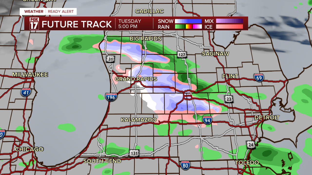
As temperatures warm during the afternoon, the I-94 corridor will change back over to all rain. The rest of West Michigan will be cold enough that the wintry mix will continue.

By evening commute time, most of the area will be dry save for the I-96 corridor and north, where lingering wet snow and a wintry mix is likely. While accumulations will be very light (if any at all), there could be some travel impacts still for I-96, and elevated bridges and overpasses.
Ice accumulations will be extremely light, but it doesn't take much to cause tricky travel until high traffic volume & warming temps melt it away.

Snow totals will be less than half an inch, with any accumulation likely limited to elevated and grassy surfaces.
For the latest details on the weather in West Michigan, head to the FOX 17 Weather page.
Follow FOX 17: Facebook - X (formerly Twitter) - Instagram - YouTube
