
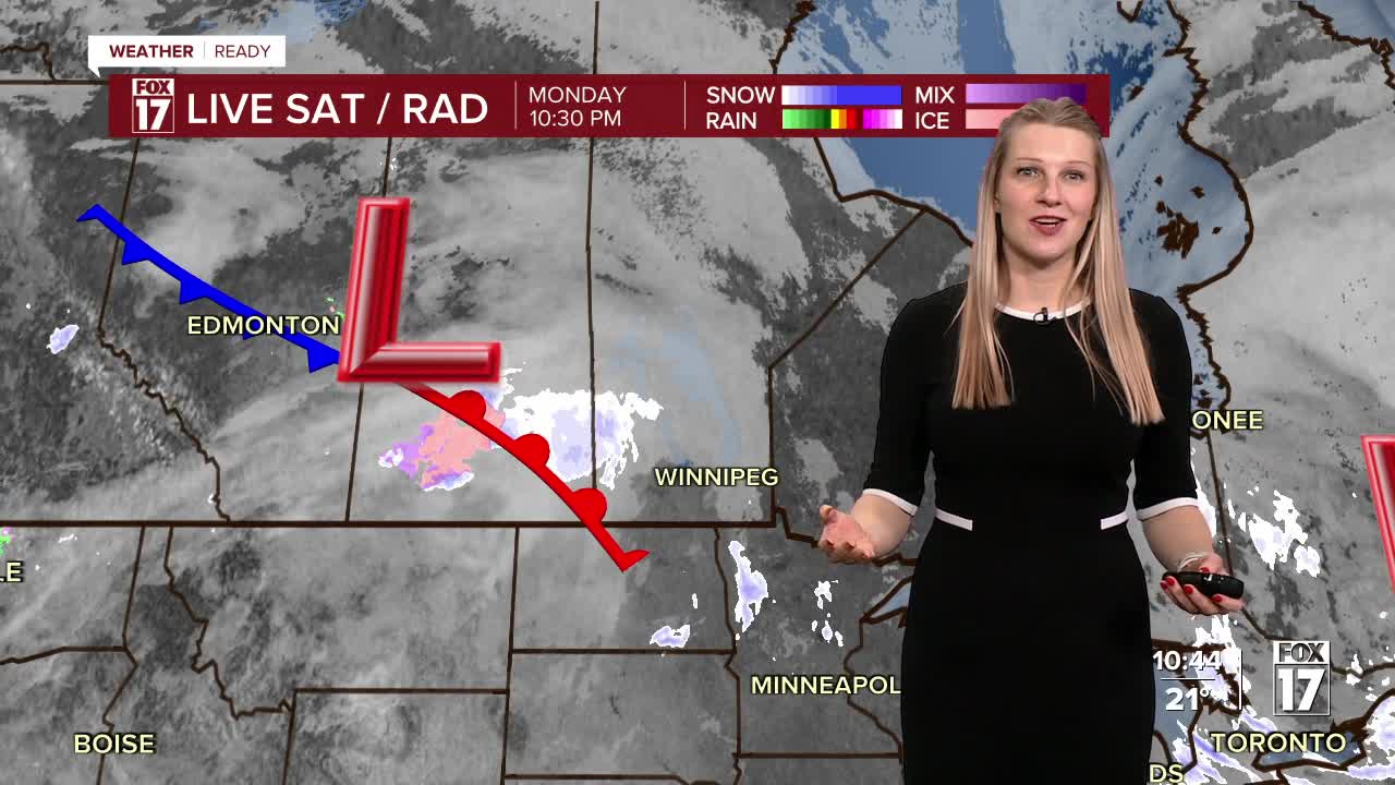


WEST MICHIGAN — From Fox 17 Weather Ready Meteorologist Kara James: Snow showers will gradually end overnight, but blowing snow and gusty winds continue. A WINTER STORM WARNING and WINTER WEATHER ADVISORY continue through 12 AM Tuesday, with another 1-2" of snow possible, and low visibility from blowing snow. This will not be the only system this week—another one each Tuesday and Wednesday will drop 1-3" of snow each to round out 2025, for up to 4-6" of new snow possible through the end of the year. Breezy and cold conditions are also anticipated, with gusts up to 25 mph and wind chills about 10 degrees colder than actual temperatures. This colder air will likely grip West Michigan through the end of the week, but starting New Year's Day the weather will be quieter.
TONIGHT: Snow showers. Blowing snow. Windy and cold. Lows near 20. Winds: NW 10 - 20 mph
TUESDAY: Cold with snow showers; especially during the afternoon and evening. Highs in the mid-20s.
WEDNESDAY: (New Years Eve) Cold with snow showers. Highs in the mid-20s
THURSDAY: (New Years Day) Very cold. Highs in the low 20s. Lows in the mid-teens
FRIDAY: Mostly Cloudy. Highs in the low 20s.
SATURDAY: Mostly cloudy. Highs in the upper 20s.
SUNDAY: Mostly cloudy. Highs near 30.
For the latest details on the weather in West Michigan, head to the FOX 17 Weather page.
Follow FOX 17: Facebook - X (formerly Twitter) - Instagram - YouTube
