


WEST MICHIGAN — The forecast from FOX 17 Weather Ready Meteorologist Kara James: The warm, sticky conditions continue into the evening and overnight along with additional chances for rain and thunderstorms. A few severe storms are possible, with damaging winds and small hail. The Storm Prediction Center has included much of the Lower Peninsula in a Marginal Risk Area (Level 1 out of 5) and Berrien County in a Slight Risk (Level 2 out of 5) for severe weather. Torrential downpours from slow-moving storms could also lead to isolated areas of street flooding. Storms will push south overnight. Rain and storm chances are lower for Sunday, with much of the day dry to wrap up the weekend. The potential for a few more rounds of showers and storms will return for Monday and Tuesday, with dry and comfortable conditions returning by mid-week. Stay tuned to the FOX 17 Weather Ready Team for your latest forecast updates.
TONIGHT: Scattered showers and storms ending overnight. Lows: near 70 Winds: W 5-10 mph
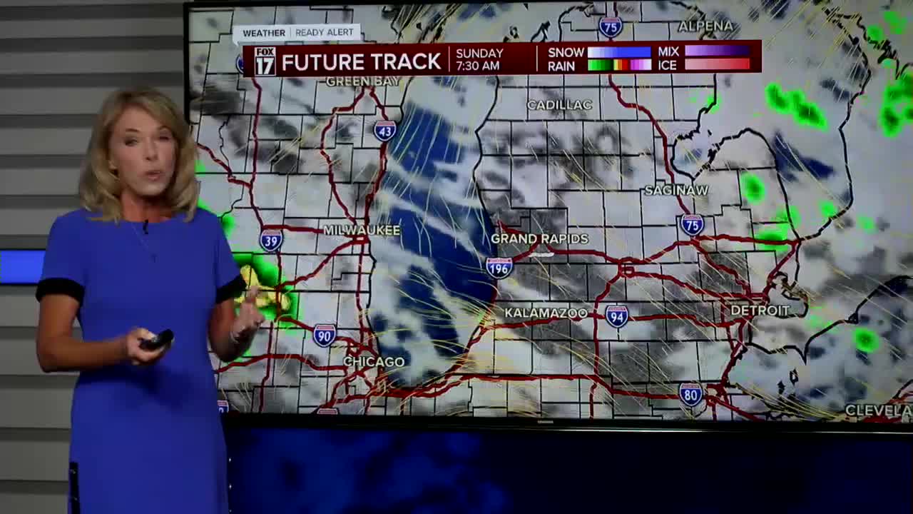
SUNDAY: Warm and humid with an isolated shower or storm. Highs in the middle-80s. Winds: NE 5-15 mph
MONDAY: Scattered showers and storms possible. Warm and muggy. Highs in the mid 80s.
TUESDAY: Scattered showers and storms. Highs in the lower 80s.
WEDNESDAY: Partly cloudy. Highs around 80.
THURSDAY: Mostly sunny. Pleasant. Highs in the low-mid 80s.
FRIDAY: Mostly sunny. Pleasant. Highs in the mid-80s.
SATURDAY: Mostly sunny. Pleasant. Highs in the mid-80s.
For the latest details on the weather in West Michigan, head to the FOX 17 Weather page.
Follow FOX 17: Facebook - X (formerly Twitter) - Instagram - YouTube
