


WEST MICHIGAN — From Fox 17 Weather Ready Meteorologist Kara James: Arctic air continues to flow into West Michigan over the next several days. A WINTER WEATHER ADVISORY has been extended through 10AM Thursday, for more lake effect snow showers, hazardous travel conditions and wind chills remaining near or a bit below zero. Snow showers will be mainly west of US 131 tomorrow and into Friday, when the pattern shifts to become dryer. Roads will still be very slick and icy, and blowing snow can cause reduced visibility at any time. Very cold air plunges in to West Michigan Friday morning with lows in the -5 to -10 range and wind chills at times colder than -15, and highs around 10. The pattern changes this weekend with lower snow chances, highs in the 20s and some peeks of sunshine.
There is the potential for flight delays and cancellations due to the continued extreme winter weather. Here's the direct link to the Flight Tracker at the Gerald R. Ford International Airport
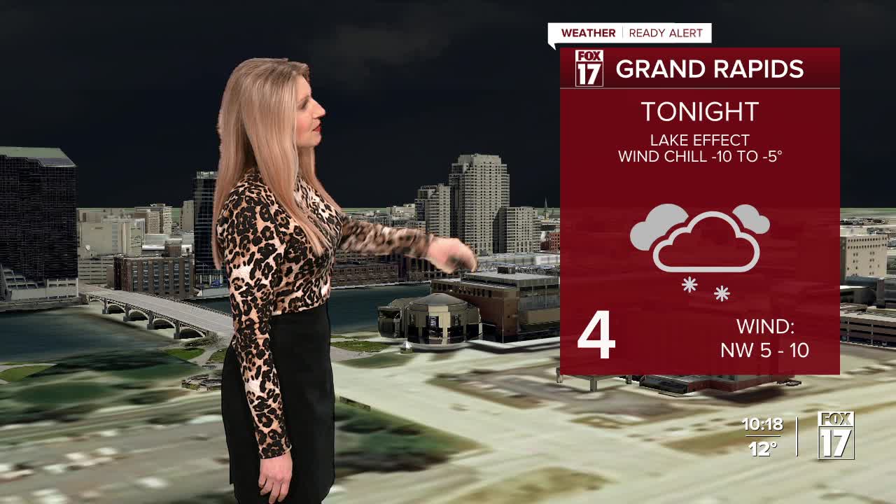
TONIGHT: WINTER WEATHER ADVISORY Lake effect snow showers. Lows 0 to 5. Wind chills around -5. Winds: NW 5-10 mph
THURSDAY: WINTER WEATHER ADVISORY (Until 10AM) Partial sunshine. Scattered lake effect snow showers; heaviest near Lake Michigan. Highs in the mid-teens. Winds: NW 5-15 mph
FRIDAY: Very cold morning: lows -5 to -10 with wind chills -15 to -25. Highs around 10.
SATURDAY: Partly cloudy and cold. Highs in the upper teens.
SUNDAY: Partly cloudy. Highs in the low 20s.
MONDAY: Partly cloudy with chance snow showers. Not as cold. Highs in the mid-20s.
TUESDAY: Partly cloudy with chance snow showers. Highs in the mid-20s.
WEDNESDAY: Partly cloudy. Highs in the mid-20s.
For the latest details on the weather in West Michigan, head to the FOX 17 Weather page.
Follow FOX 17: Facebook - X (formerly Twitter) - Instagram - YouTube
