
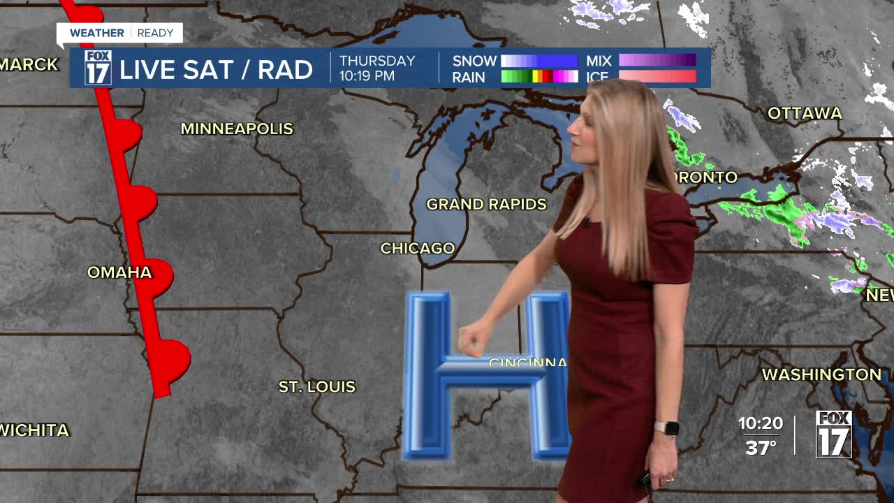


The forecast from FOX 17 Meteorologist Kara James: Warmer air continues to filter in to West Michigan through Saturday, and there are no snow opportunities in the next week. Friday will be a beautiful outdoor day with sunshine, low winds, and highs in the mid 50s. The warmest day will be Saturday but clouds, breezy winds and very light showers will be possible as a system passes through. Behind the front is much colder air, bringing 40s for highs once again and a strong wind starting Sunday. Stay tuned to FOX 17 for your latest forecast.
TONIGHT: Clear as temperatures fall to the lower 30s. Winds west/northwest at 5 to 10 mph.
FRIDAY: Sunny, pleasant, and warmer. Highs in the mid 50s.
SATURDAY: Mostly cloudy and mild. Chance isolated showers. Highs in the upper 50s.
SUNDAY: Mostly sunny, breezy and colder. Highs in the upper 40s.
MONDAY: Partly cloudy and cool with highs in the low 40s.
TUESDAY: Mostly cloudy and cool. Highs in the mid 40s.
WEDNESDAY: Mostly cloudy with highs in the mid to upper 40s.
THURSDAY: Mostly cloudy with highs in the mid 40s. Chance of rain in the evening and overnight.
For the latest details on the weather in West Michigan, head to the FOX 17 Weather page.
Follow FOX 17: Facebook - X (formerly Twitter) - Instagram - YouTube
