


WEST MICHIGAN — WEST MICHIGAN — The forecast from FOX 17 Meteorologist Erik Kostrzewa: The stagnant weather pattern will finally be coming to an end this weekend as the upper-level low swings east towards West Michigan. We will have to get through one more day of cloudy and somewhat stormy weather Saturday before several days of sunshine Sunday into next week. The showers and isolated storms will be mainly during the afternoon and evening, but a few light showers are possible in the morning. If we do get a few storms tomorrow evening, they could be strong with wind and hail. That chance is pretty low, however.
TONIGHT: Mostly cloudy. A light shower is possible. Lows in the middle 50s. East to southeast winds at 5 to 15 mph.
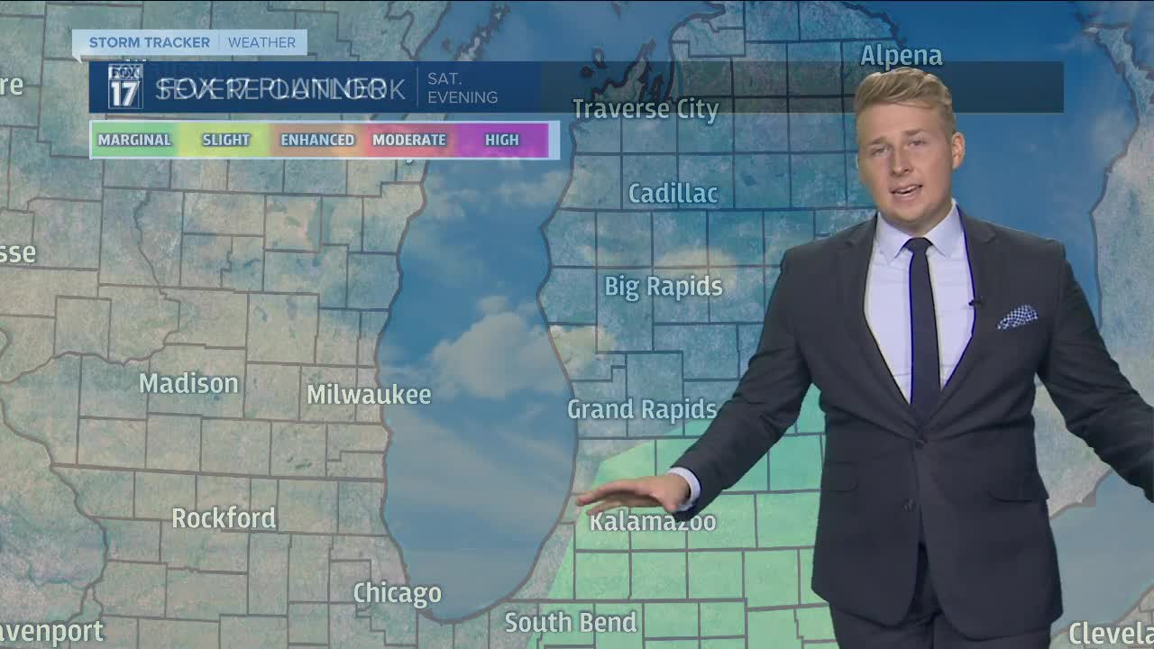
SATURDAY: Mostly cloudy skies. A chance for light rain showers as early as late morning but the chances for rain grow through the afternoon and evening. A gusty thunderstorm possible late afternoon/evening well south and east of Grand Rapids. Highs in the lower to middle 70s. Southeast winds at 5 to 15 mph becoming southerly late.
SATURDAY NIGHT: Periods of light rain, with a few embedded thunderstorms possible. Mild with lows in the lower 60s. South to southwest winds at 5-15 mph.
SUNDAY: A morning shower possible, otherwise becoming mostly sunny. Best day of the weekend! Highs in the lower to middle 70s. Breezy west to northwest winds at 10-20 mph.
MONDAY: Mostly sunny skies. Cooler but still nice in the lower 70s.
