
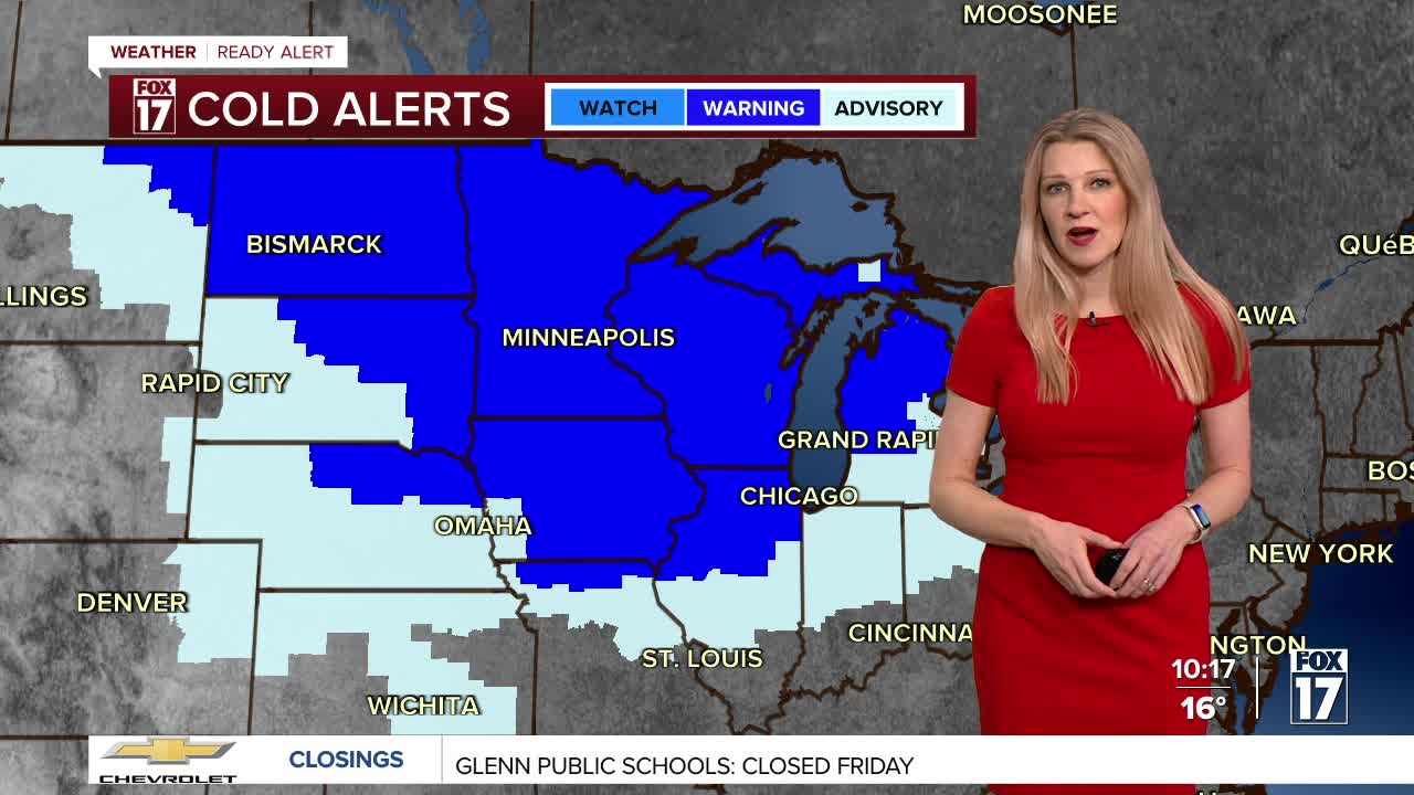


WEST MICHIGAN — From Fox 17 Weather Ready Meteorologist Kara James: A WINTER WEATHER ADVISORY continues for the lakeshore, Kalamazoo, Barry, Kent and Newago counties through 1 p.m. Friday, for 2-4" of snow. Gusty winds 25-30 mph will cause blowing snow and low visibility. The real cold air sets in tonight and continues through the weekend, with true Polar air sinking into the Great Lakes. An EXTREME COLD WARNING is in effect until 10 a.m. Saturday. Wind chills during this time will be in the -15 to -30 range, which is dangerously cold. Frostbite can occur in 30 minutes or less. Morning temperatures will be below zero Friday, Saturday and Sunday with single digit high temperatures. This is near record cold! The extreme cold is with us through the weekend, but conditions remain colder than average through early February.
GRR FLIGHT TRACKER Here is the link to the Flight Tracker at the Gerald R. Ford International Airport so you can keep an eye on flight delays.
TONIGHT: Snow showers, low visibility. Sharply colder. Lows -5 to -10 Winds: NW 15 - 25 mph
FRIDAY: EXTREME COLD WARNING. Scattered snow showers early, then clearing. Highs around 4. Wind chills -15 to -30
SATURDAY: Windy and colder. Highs near 8. Lows: -5 to -15
SUNDAY: Windy and cold with snow showers. Highs near 12. Lows: 0 to -5
MONDAY: Not as cold. Snow showers. Highs in the mid-teens.
TUESDAY: Mostly cloudy with snow showers. Highs near 20.
WEDNESDAY: Scattered snow showers Highs near 20.
THURSDAY: Scattered snow showers. Highs in the upper teens.
For the latest details on the weather in West Michigan, head to the FOX 17 Weather page.
Follow FOX 17: Facebook - X (formerly Twitter) - Instagram - YouTube
