
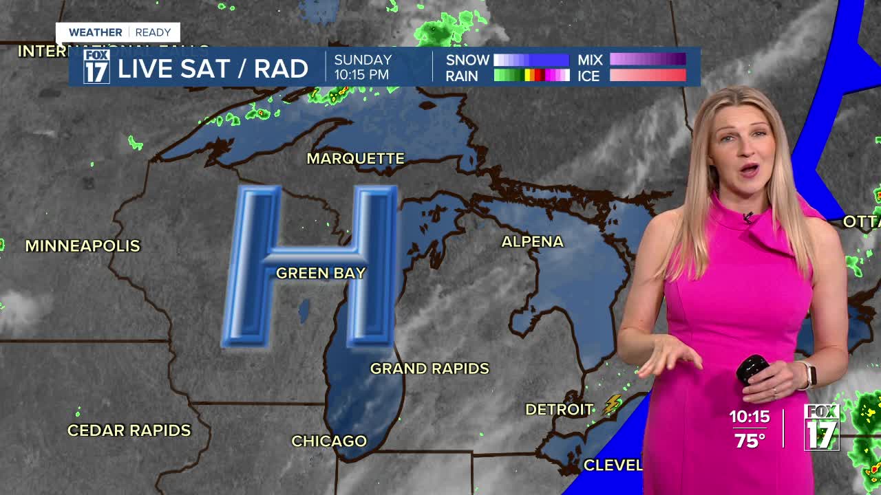


WEST MICHIGAN — The forecast from FOX 17 Weather Ready Meteorologist Kara James: An AIR QUALITY ADVISORY has been issued through tomorrow night, as wildfire smoke from Canada continues to filter into the Great Lakes region creating deteriorating air quality. Overnight clouds clear and cool temperatures return, with lows in the low 60s. Summer air builds again to start this work week, as high temperatures rebound into the upper 80s and low 90s. The next chance for some much-needed rainfall comes mid-week, with isolated to scattered showers and storms possible both Wednesday and Thursday. There is the chance for some thunderstorms those days as well. We could use a soaking rainfall, as the past several weeks have featured mostly dry conditions. Grand Rapids has over a 3" rainfall deficit since the start of May, and a precipitation deficit more than 5" since January 1st. Stay tuned to the FOX 17 Weather Ready Team for your latest forecast updates.
TONIGHT: Clearing clouds and comfortable. Lows in the low 60s. Winds: SW 5 mph
MONDAY: Mostly sunny and warmer with hazy skies. Highs in the upper 80s.
TUESDAY: Mostly sunny and HOT! Highs in the low 90s.
WEDNESDAY: Scattered showers and thunderstorms, warm and humid. Highs in the upper 80s.
THURSDAY: Scattered showers and storms and a little cooler. Highs in the low 80s.
FRIDAY: Mostly sunny. Pleasant. Highs in the low 80s.
SATURDAY: Mostly sunny and pleasant. Highs in the low 80s.
SUNDAY: Mostly sunny to partly cloudy with scattered showers and storms. Highs in the mid-80s.
For the latest details on the weather in West Michigan, head to the FOX 17 Weather page.
Follow FOX 17: Facebook - X (formerly Twitter) - Instagram - YouTube
