
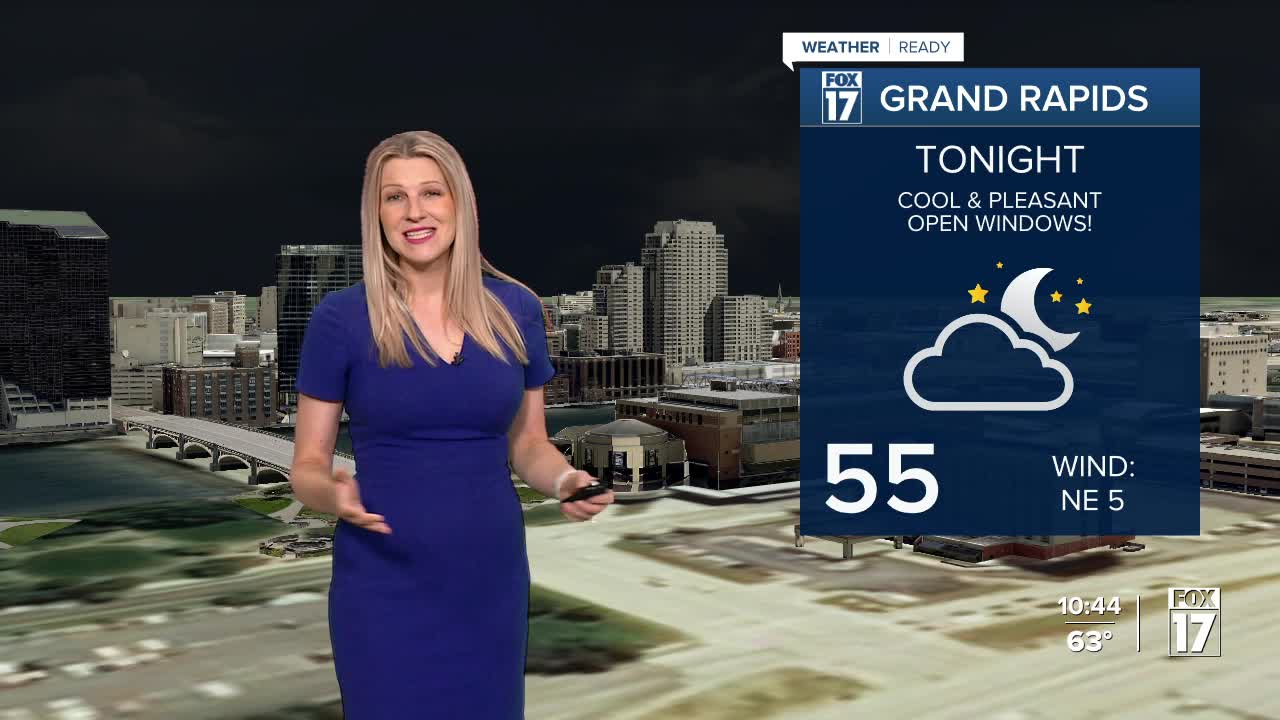


The forecast from FOX 17 Weather Ready Meteorologist Kara James: High pressure building into the region will help gradually clear the clouds out tonight with lows in the mid 50s. That's the coolest low temperature since mid-June! More sunshine and pleasant conditions are expected on Friday with highs near 80, which is below average. Our next chance of shower/storms arrives on Saturday as the next frontal system approaches. A few of those storms could be strong at times, with gusty winds along with lightning and heavy rain. Tonight we may be able to start seeing the Perseid Meteors, but they don't peak until August 12/13. This is an annual event and stems from debris from the tail of the comet Swift Tuttle. Stay tuned to the FOX 17 Weather Ready Team for your latest forecast updates.
TONIGHT: Becoming clear, and comfortably cool. Lows in the mid 50s. Winds northeast/east at 5 to 10 mph.
FRIDAY: Mostly sunny and pleasant. Highs in the upper 70s to near 80. Winds east/southeast 5 to 10 mph.
SATURDAY: Becoming mostly cloudy with scattered showers/storms. Highs in the lower 80s.
SUNDAY: Morning clouds, but becoming mostly sunny to partly cloudy. Highs in the lower 80s.
MONDAY: Mostly sunny to partly cloudy and pleasant. Highs in the mid 80s.
For the latest details on the weather in West Michigan, head to the FOX 17 Weather page.
Follow FOX 17: Facebook - X (formerly Twitter) - Instagram - YouTube
