
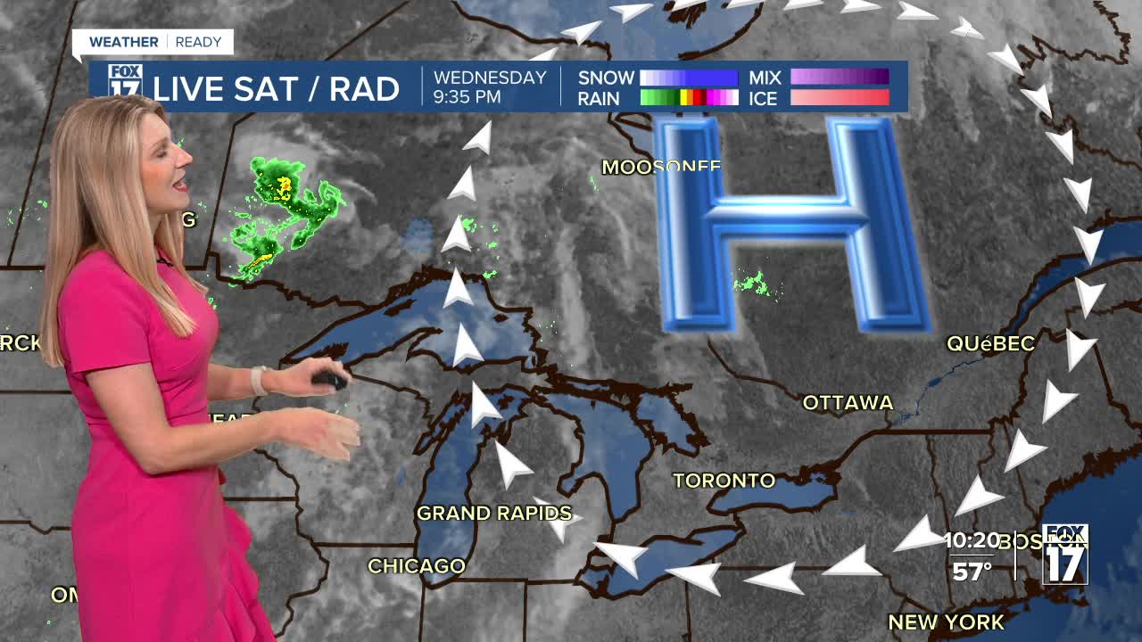


The forecast from FOX 17 Weather Ready Meteorologist Kara James: Overnight lows will drop into the 40s tonight as air around a cool high pressure rolls in from the eastern Great Lakes. Highs Thursday will still reach the mid-upper 70s, but 80s return Friday through the weekend. This may be the last of the 80s this season/this year, and each day Friday through Sunday will be near record warmth. For comparison: "average" this time of year are highs in the upper 60s and lows in the upper 40s. The drought conditions will continue to worsen across West Michigan as it looks to stay dry through the weekend. Slight chances for showers are back in the forecast early next week, but amounts look very light. The tropics are somewhat active off the East Coast of the United States with Tropical Systems IMELDA and HUMBERTO. Both storms are moving away from the United States, out to sea. Make sure to stay with the FOX 17 Weather Ready Team for your latest forecast updates.

TONIGHT: Partly to mostly cloudy. Lows in the upper 40s. Winds east 5 to 10 mph.
THURSDAY: Some morning cloudiness, otherwise afternoon sunshine. Highs in the mid 70s. Winds southeast at 5 to 10 mph.
FRIDAY: Sunny and unseasonably warm. Highs in the lower 80s.
SATURDAY: Sunny and unseasonably warm. Highs in the low/mid 80s.
SUNDAY: Sunny and unseasonably warm. Highs in the lower 80s.
MONDAY: Partly cloudy. Chance of P.M. and night showers. Highs in the upper 70s to near 80.
For the latest details on the weather in West Michigan, head to the FOX 17 Weather page.
Follow FOX 17: Facebook - X (formerly Twitter) - Instagram - YouTube
