
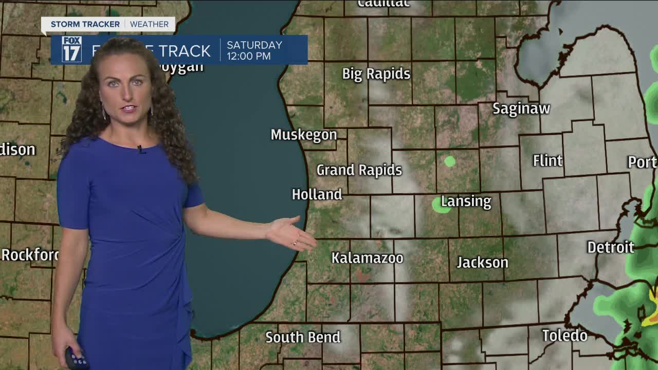


WEST MICHIGAN — The forecast from FOX 17 Meteorologist Laura Velasquez: A cold front passing through tonight will result in a period of scattered showers or light rain. A rumble of thunder is possible, especially near the lakeshore. By Saturday morning the wet weather will be pressing to our east, leaving behind dry conditions. Clouds will also decrease from west to east throughout the morning. A ridge of high pressure will build into the Great Lakes for much of the upcoming work week, resulting in mainly dry weather with highs in the low to mid 70s. Have a wonderful and safe weekend!
**A HIGH Beach Hazards Statement and Small Craft Advisory have been posted until 8 p.m. Saturday. Strong winds are expected, leading to high wave heights. The highest waves will be overnight tonight, ranging between 6 to 10 feet. Waves will range between 4 to 6 feet on Saturday. Use caution near Lake Michigan, and be careful on the piers.**
TONIGHT: Rain showers with a rumble of thunder possible. Lows in the low/mid 50s. Winds south/southwest at 15 to 25 mph. Gusts up to 30 mph.
TOMORROW: Showers exit early with decreasing clouds. Highs in the mid 60s. Winds west at 10 to 20 mph.
SUNDAY: Partly cloudy. Highs near 70.
MONDAY: Mostly sunny partly cloudy. Highs in the mid 70s.
TUESDAY: Mostly sunny to partly cloudy. Highs in the mid 70s.
WEDNESDAY: Mostly to partly cloudy. Highs in the mid 70s.
THURSDAY: Partly cloudy. Highs in the mid 70s.
For the latest details on the weather in West Michigan, head to the FOX 17 Weather page.
