

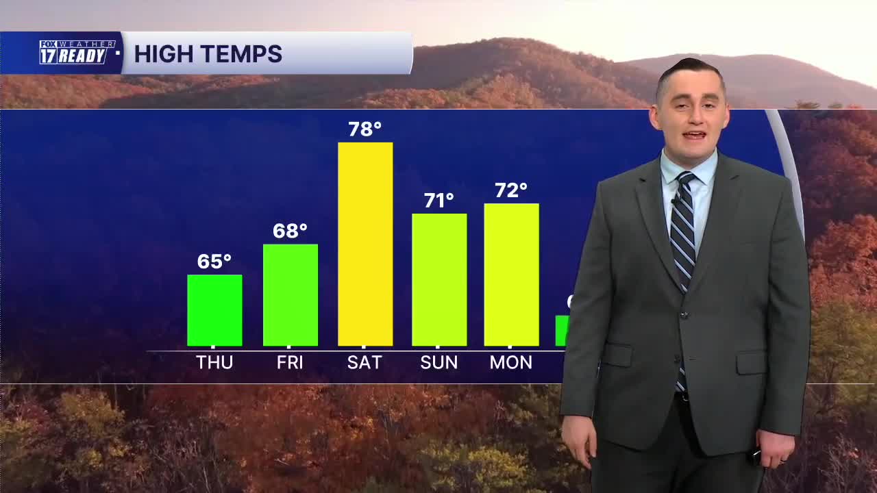


WEST MICHIGAN — The forecast from Weather Ready Meteorologist Colton Cichoracki: A cold front will bring in some cooler air for a couple days but a big warm-up is expected for the weekend. Tonight is mostly clear with lows in the 40s and 50s. On Thursday, while it will be cooler, it will still be a nice day with plenty of sunshine. Highs will be in the middle 60s. It will be a tad breezy too with winds from the west/northwest. A warm front will bring in some warmer air for Friday when we get into the upper 60s. Even warmer air is then expected for Saturday when we climb into the upper 70s. It will be a great day to get outside with some sunshine! On Sunday, the remnants of Tropical Storm Isaias will move in from the south. We will likely see some clouds from this but maybe a few sprinkles as well. We will stay in the 70s through Monday but a significant cool down comes later in the week.
TONIGHT: Mostly clear. Lows in the upper 40s/lower 50s. Wind W/NW at 5-10 mph.
THURSDAY: Partly cloudy with highs in the mid 60s. Wind W/NW at 10-20 mph.
FRIDAY: Partly cloudy with highs in the upper 60s.
SATURDAY: Mostly sunny and warmer with highs in the upper 70s.
SUNDAY: Mostly cloudy with chance showers. Highs in the lower 70s.
MONDAY: Partly cloudy with highs in the upper 60s/lower 70s.
TUESDAY: Mostly cloudy with chance showers, especially early. Highs in the low/mid 60s.
WEDNESDAY: Partly cloudy and much cooler. Highs in the upper 50s.
Want alerts when inconvenient or severe weather is headed your way? Download the FOX 17 Weather app and set up notifications for where you live.
For the latest details on the weather in West Michigan, head to the FOX 17 Weather page.
Follow FOX 17: Facebook - X (formerly Twitter) - Instagram - YouTube
