


The forecast from FOX 17 Weather Ready Meteorologist Kara James: A taste of spring is coming to West Michigan late week, as warmer temperatures and rain chances are in the forecast. Clouds will break up overnight with temperatures dropping into 20s, which is right where lows should be this time of year. A few patches of fog are also possible but should mix out quickly in the morning. Tomorrow starts out mostly sunny with clouds gradually returning through the day, but highs will reach the low 50s. Late in the day, a few showers are possible toward I-94 but most stay dry. On Thursday, a system will bring rain to the area and that should keep temperatures in the 40s. Another system is quick on its heels and will bring more rain later Friday into Saturday. Temperatures for the end of the week and through the weekend will be well above average in the 50s and 60s.
TONIGHT: Becoming partly cloudy. Lows in the upper 20s. Winds light/variable.
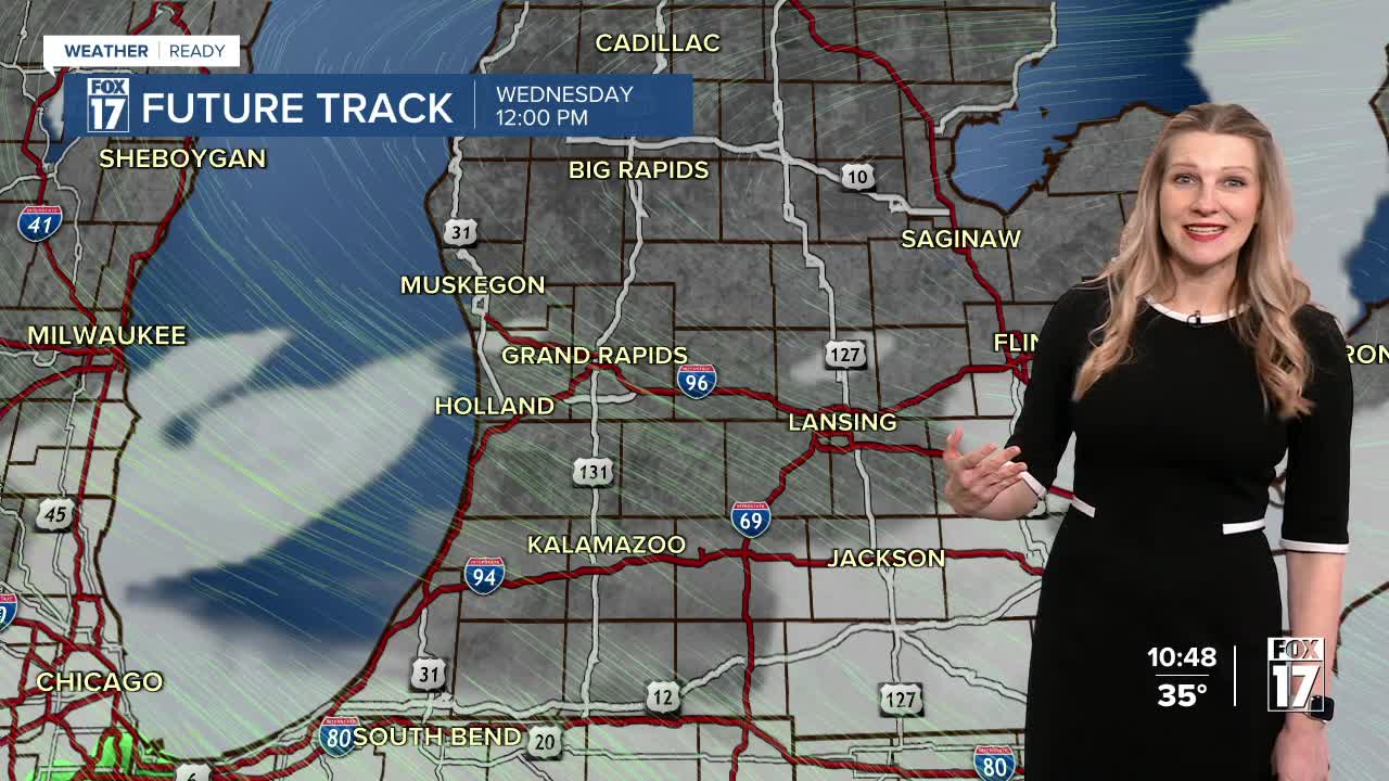
WEDNESDAY: Mostly sunny to partly cloudy and mild. Highs in the lower 50s. Winds east-southeast at 5 to 10 mph.
THURSDAY: Mostly cloudy and mild with rain moving in. Highs in the upper 40s.
FRIDAY: Partly sunny to mostly cloudy and unseasonably warm. Rain develops later in the day. A few rumbles of thunder possible. Highs in the lower 60s.
SATURDAY: Morning rain likely otherwise cloudy and unseasonably warm. Highs in the lower 60s.
SUNDAY: Mostly sunny to partly cloudy. Highs in the mid/upper 50s.
MONDAY: Mostly sunny. Highs near 60 degrees.
TUESDAY: Isolated thunderstorms possible. Highs in the middle 60s.
For the latest details on the weather in West Michigan, head to the FOX 17 Weather page.
Follow FOX 17: Facebook - X (formerly Twitter) - Instagram - YouTube
