


The forecast from FOX 17 Weather Ready Meteorologist Kara James: It will be a cold tonight with low temperatures in the teens. Wind chill readings to begin the day will be in the lower 10s or high single digits. Bundle up! Thursday will be a transition day, mostly cloudy with a flurry or two but still cool, in the low 30s. Friday looks to be the warmest day of the week with highs near 50. Saturday evening/night into Sunday the next system arrives, with the chance for snow showers and continued colder air. A widespread 1-2" is expected, with mainly accumulations on elevated and grassy spots. Roads could be a little slick in spots, but no major travel disruptions. Longer range temperature outlooks still keep Michigan in at/above normal readings into the first full week of March and perhaps beyond. Normal highs are in the mid 30s, so no Arctic air is on the horizon.
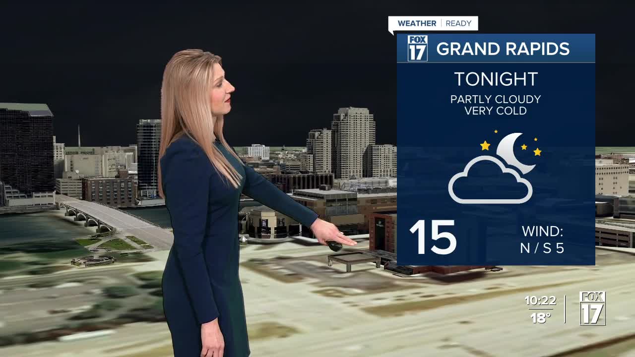
TONIGHT: Partly cloudy and cold. Winds diminish. Lows in the mid teens, wind chills near 10. Winds west-northwest at 5 to 10 mph.
THURSDAY: Morning sunshine, otherwise becoming partly sunny to mostly cloudy in the afternoon. Chance of light snow showers in the evening, especially from Grand Rapids northward. Highs in the low/mid 30s. Winds west-southwest at 5 to 10 mph.
FRIDAY: Mostly sunny to partly cloudy and mild. Highs near 50. Breezy winds from the southwest at 10 to 20 mph.
SATURDAY: Some morning sunshine, otherwise becoming mostly cloudy with a chance evening/night snow showers. Some minor accumulations possible. Highs in the upper 30s.
SUNDAY: Mostly cloudy. Highs in the upper 20s.
MONDAY: Partly cloudy. Highs in the lower 30s.
TUESDAY: Mostly cloudy. Highs near 40 degrees.
WEDNESDAY: Partly cloudy. Highs in the lower 40s.
For the latest details on the weather in West Michigan, head to the FOX 17 Weather page.
Follow FOX 17: Facebook - X (formerly Twitter) - Instagram - YouTube
