
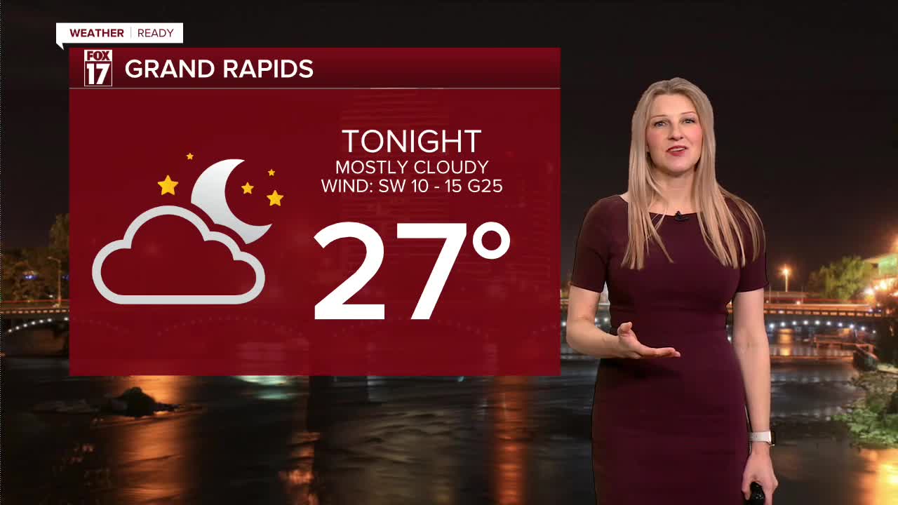


WEST MICHIGAN — From Fox 17 Weather Ready Meteorologist Kara James: Colder air has moved in to West Michigan, with one more push of lake effect snow through the early afternoon. The WINTER WEATHER ADVISORY continues through 1 p.m. for Oceana, Muskegon and Newaygo Counties, mainly for lake effect snow. Another 1-3" is expected there, with other areas along the lakeshore also getting a few inches. Watch for icy spots on the roads not just from new snow, but any re-freezing from yesterday's snow and slush. It's going to feel like January next week too, with a pattern in the upper levels favoring colder temperatures, breezy conditions and quick moving systems bringing systems. The next active system will be Tuesday into Wednesday with a rain and wet snow mix initially, turning to all snow by Wednesday.
SUNDAY: WINTER WEATHER ADVISORY Colder with snow showers ending around midday. Highs in the low 30s. Winds: NW 10-15 gusts 25
MONDAY: Partly to mostly cloudy. Highs in the mid-30s.
TUESDAY: Mostly cloudy with scattered rain/snow mix. Highs around 40.
WEDNESDAY: Snow showers. Highs in the low 30s.
THURSDAY: Sharply colder. Highs in the mid-20s.
FRIDAY: Cold with highs in the upper 20s. Chance snow showers.
SATURDAY: Cold with chance snow showers. Highs around 30.
For the latest details on the weather in West Michigan, head to the FOX 17 Weather page.
Follow FOX 17: Facebook - X (formerly Twitter) - Instagram - YouTube
