


WEST MICHIGAN — From Fox 17 Weather Ready Meteorologist Kara James: Colder air flowing in behind today's cold front will drop temperatures for a few days into the teens in the mornings, with afternoons in the upper 20s and low 30s. This is a few degrees cooler than average, but nothing huge. Breezy conditions tonight and tomorrow will keep wind chills running around 10 degrees colder than actual temperatures. No major storms are in sight for West Michigan this week, with highs rebounding back into the mid 30s with sunshine by Friday. This pattern flip brings colder air into the Western United States, and warmer air to the Central and Eastern United States. Not only is the pattern becoming warmer, a much quieter pattern is emerging for West Michigan through mid-February as well. A major system is likely to pass well to our south later this week into the weekend but is unlikely to cause impacts here.
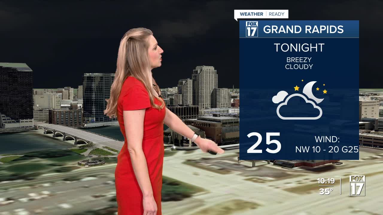
TONIGHT: Colder and breezy with iso. flurries. Lows in the mid 20s. Winds: NW 10-20 mph
WEDNESDAY: Breezy and Colder. Highs upper 20s. Winds: W-NW 10-20 mph
THURSDAY: Mostly cloudy. Highs in the low 30s.
FRIDAY: Partly cloudy. Highs in the upper 30s.
SATURDAY: Partly Cloudy. Highs in the upper 30s.
SUNDAY: Partly cloudy. Highs in the upper 30s.
MONDAY: Mostly cloudy. Highs in the upper 30s.
TUESDAY: Partly cloudy with highs in the mid-40s.
For the latest details on the weather in West Michigan, head to the FOX 17 Weather page.
Follow FOX 17: Facebook - X (formerly Twitter) - Instagram - YouTube
