

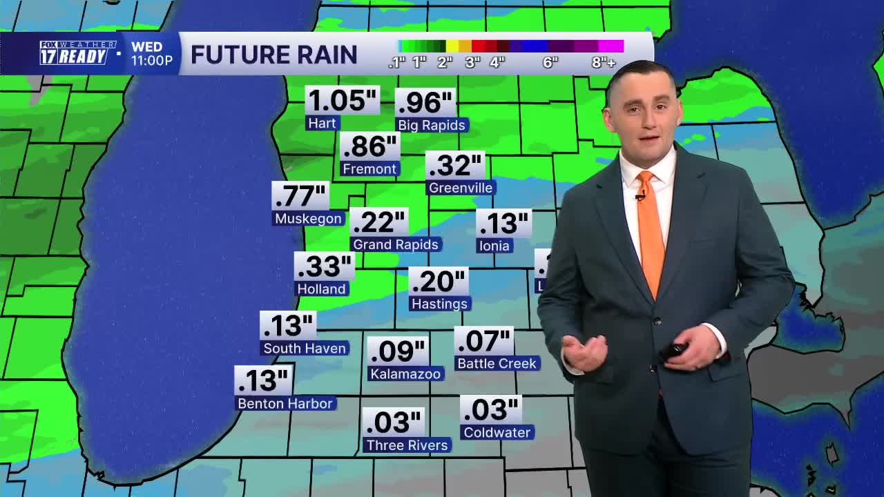


WEST MICHIGAN — The forecast from FOX 17 Weather Ready Meteorologist Colton Cichoracki: A cold front will bring some rain and storms to West Michigan beginning late Tuesday night and lasting into Wednesday. This evening is mostly dry outside of a sprinkle or two. After midnight, rain chances will begin to grow especially north and west of Grand Rapids. Rain will become widespread by dawn. Wednesday will not be a complete washout but rain is likely early with drier weather coming in the afternoon and evening. Any chance for severe weather is very low and rainfall totals of 0.25" to 0.50" are most likely. Thanks to a strong breeze from the southwest, a Beach Hazard Statement in effect for Oceana, Muskegon, and Ottawa counties until Wednesday evening due to dangerous swimming conditions. After the Wednesday system moves out, dry weather is expected for the rest of the work week. Some low-end rain chances are in the forecast this weekend with much better chances for rain (and storms) coming early next week.
TONIGHT: Cloudy with showers and storms developing late. Lows in the upper 60s to near 70. Wind S/SW at 5-10 mph.
WEDNESDAY: Showers and storms likely especially early, otherwise mostly cloudy. Highs in the upper 70s and humid. Breezy, Wind SW at 10-20 mph.
THURSDAY: Partly cloudy to mostly sunny with highs in the mid 70s and less humid.
FRIDAY: Mostly sunny with highs in the mid/upper 70s and no humidity.
SATURDAY: Partly cloudy with highs around 80. A stray shower possible.
SUNDAY: Partly cloudy with highs in the upper 70s. A few P.M. showers possible.
MONDAY: Mostly cloudy with chance showers. Highs in the middle 70s.
TUESDAY: Mostly cloudy with thunderstorms likely. Highs in the middle 70s.
Want alerts when inconvenient or severe weather is headed your way? Download the FOX 17 Weather app and set up notifications for where you live.
For the latest details on the weather in West Michigan, head to the FOX 17 Weather page.
Follow FOX 17: Facebook - X (formerly Twitter) - Instagram - YouTube
