


WEST MICHIGAN — From Fox 17 Weather Ready Meteorologist Kara James: Clouds will gradually clear overnight as temperatures remain mild for the time of year. A few patches of fog are possible as well, but should not be as dense as last night / this morning. Lows around 30, with highs rebounding into the mid to upper 40s tomorrow ahead of a powerful low pressure system. It will become gusty as well, with south winds at 15 to 20 mph. Widespread rain moves in during the late afternoon Thursday, continuing overnight into Friday morning. Totals could be half an inch to around an inch. If you love winter weather, a return to colder air and chance for snow showers is in sight for this weekend. Cooler weather with snow chances stays put into early next week.
TONIGHT: Partly cloudy. *Watch for icy patches. Lows near 30-degrees. Winds: SW 5-15 mph
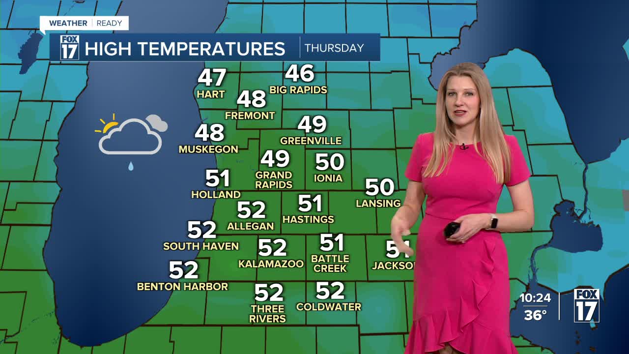
THURSDAY: Clouds thicken. Dry start. Widespread rain developing late afternoon into the evening. Highs in the mid-40s. Winds: SW 5-15 mph, gusts to 20.
FRIDAY: Morning rain gradually ending. Highs: mid-40s.
SATURDAY: Messy mix of rain and snow. Highs in the mid-30s.
SUNDAY: Colder with snow showers. Highs in the low 30s.
MONDAY: Partly to mostly cloudy. Highs in the mid-30s.
TUESDAY: Mostly cloudy with scattered rain/snow mix. Highs in the mid-30s.
WEDNESDAY: Chance snow showers. Highs in the low 30s.
For the latest details on the weather in West Michigan, head to the FOX 17 Weather page.
Follow FOX 17: Facebook - X (formerly Twitter) - Instagram - YouTube
