
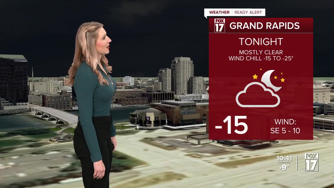


WEST MICHIGAN — From Fox 17 Weather Ready Meteorologist Kara James: The frigid air will continue to grip West Michigan through the weekend, with true Polar air sinking into the Great Lakes tonight. An EXTREME COLD WARNING and EXTREME COLD ADVISORY remain in effect until 11 a.m. Saturday. Wind chills during this time will be in the -15 to -30 range, which is dangerously cold. Frostbite can occur in 30 minutes or less. Morning temperatures will be -5 to -15 Saturday, which is near record cold, and Saturday afternoon will only be in the single digits. Sunday features another very cold morning, but double digit high temperatures and increasing snow chances in the afternoon. Lows remain in the single digits next week with highs mainly in the teens, with occasional snow showers each day.
SATURDAY: Cold and breezy at times. Highs near 6 (near record cold). Lows: -5 to -15
SUNDAY: Windy and cold with snow showers. Highs near 10. Lows: 0 to -5
MONDAY: Cold with scattered snow showers. Highs in the low teens.
TUESDAY: Mostly cloudy with snow showers. Highs near 20.
WEDNESDAY: Scattered snow showers. Highs in the mid-teens.
THURSDAY: Scattered snow showers. Highs in the mid-teens.
FRIDAY: Mostly cloudy and cold. Highs in the mid-teens.
For the latest details on the weather in West Michigan, head to the FOX 17 Weather page.
Follow FOX 17: Facebook - X (formerly Twitter) - Instagram - YouTube
