


WEST MICHIGAN — From Fox 17 Weather Ready Meteorologist Kara James: After spending the past several weeks in a deep freeze, West Michigan is kicking off a relatively warmer and quiet week! No major storms are in sight this week, with high temperatures most days at or above 30 degrees. This is the beginning of a pattern flip which will see colder air taking hold across the Western United States, and above average temperatures across the Central and Eastern United States. Not only is the pattern becoming warmer, a much quieter pattern is emerging for West Michigan through mid-February as well. Very low precipitation chances are expected overall this week as the major systems either pass well to our north, or south towards the Ohio Valley.
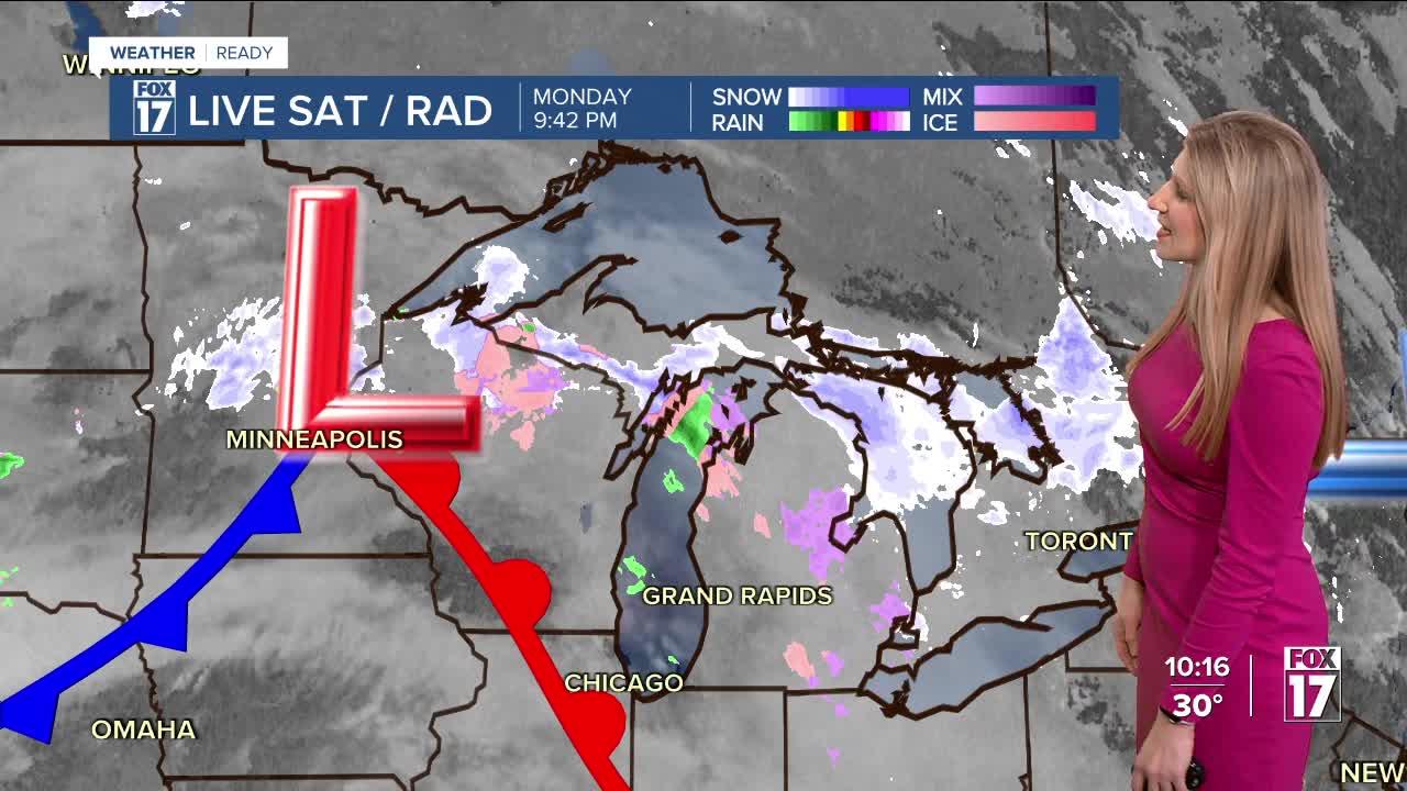
TONIGHT: Mostly cloudy. Chance light freezing rain north and east of Grand Rapids. Lows in the mid-20s. Winds: S 5-10 mph
TUESDAY: Mostly cloudy and breezy. Highs in the mid-30s. Winds: W-NW 10-20 mph, gusts 25+ mph
WEDNESDAY: Mostly cloudy. Highs near 30-degrees.
THURSDAY: Mostly cloudy. Highs near 30-degrees.
FRIDAY: Partly cloudy. Highs in the low 30s.
SATURDAY: Partly Cloudy. Highs in the low 30s
SUNDAY: Partly cloudy. Highs in the low 30s.
For the latest details on the weather in West Michigan, head to the FOX 17 Weather page.
Follow FOX 17: Facebook - X (formerly Twitter) - Instagram - YouTube
