


WEST MICHIGAN — From Fox 17 Weather Ready Meteorologist Kara James: After a snowy week, Friday's sunshine has been nice! The Arctic air lingers through the weekend and temperatures overnight will once again drop into the teens, with weekend highs in the mid to upper 20s. Wind chills will be running around 10 degrees colder. There are no major systems looming on the horizon, but an upper low passing through Saturday could bring an inch of light snow north of I-96. Another quick system overnight Sunday into Monday morning brings 1-2" of snow, and the Monday morning commute could be slick in spots. A weak disturbance could produce a light wintry mix Tuesday; with the chance for some light rain later Thursday. The big story brewing this week is a return to milder temperatures, with highs in the mid-upper 30s for the majority of next week!
TONIGHT: Cold and quiet. Mostly cloudy. Lows: mid-teens Winds: NW 5-10 mph
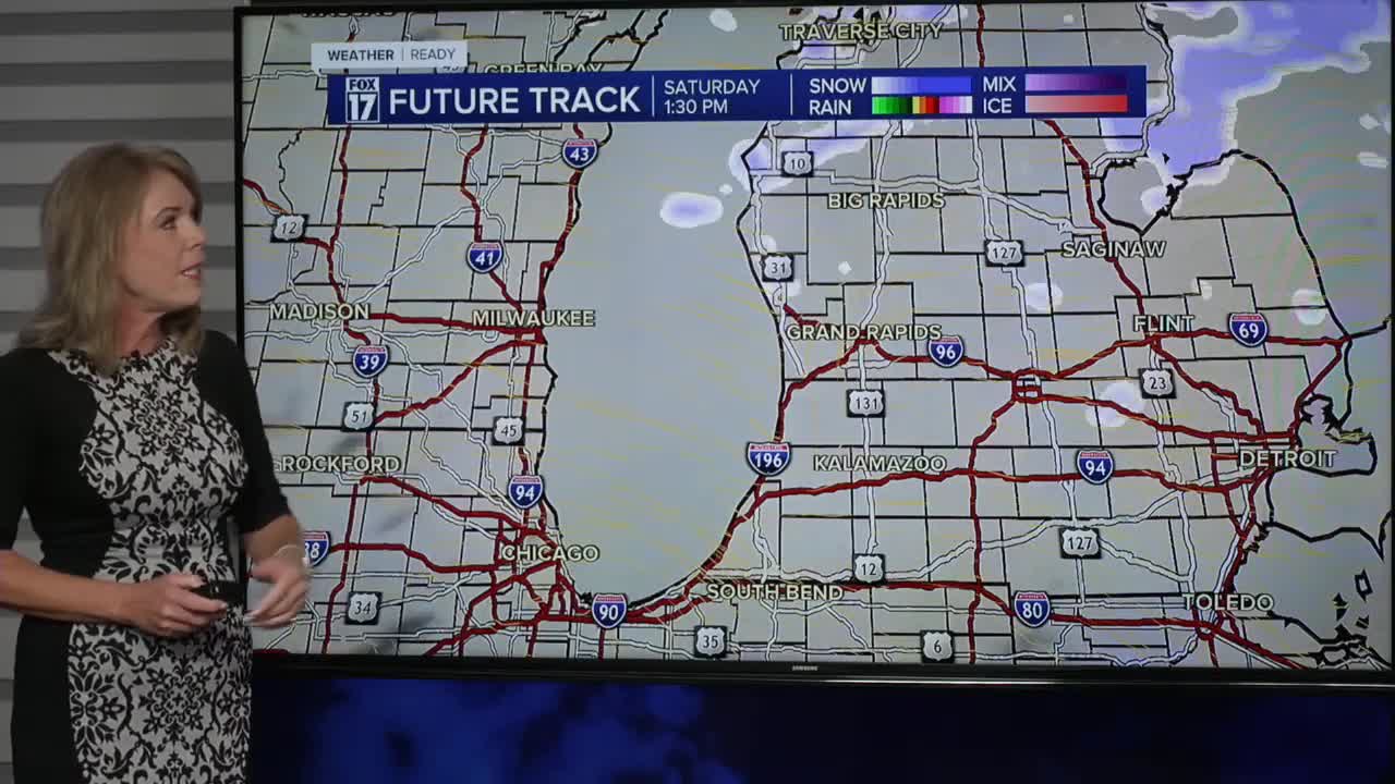
SATURDAY: Cloudy with light snow north of I-96. Highs in the mid-upper 20s. Winds: W 5-10 mph
SUNDAY: Mostly cloudy. Highs in the upper 20s.
MONDAY: Mostly cloudy with morning snow showers. Not as cold. Highs in the mid 30s.
TUESDAY: Mostly cloudy with chance afternoon rain showers or wintry mix. Highs in the mid 30s.
WEDNESDAY: Mostly cloudy. Highs in the mid-upper 30s.
THURSDAY: Cloudy with chance evening/overnight rain showers. Highs in the upper 30s.
FRIDAY: Cloudy skies. Mild. Highs near 40-degrees.
For the latest details on the weather in West Michigan, head to the FOX 17 Weather page.
Follow FOX 17: Facebook - X (formerly Twitter) - Instagram - YouTube
