


The forecast from FOX 17 Meteorologist Kara James: There will be no more significant snow in the next week! In fact, as temperatures start to rise with a warm front tonight into tomorrow and temperatures end up in the 40s, a lot of the snow from this weekend and Monday will melt. There is also the opportunity to view the Northern Lights tonight and Wednesday night! Temperatures will be in the mid-40s Wednesday, but the breezy winds will make it feel like the 30s during the day. The bigger warm up happens Thursday into the weekend, with middle to upper 50s expected and late week sunshine. Another weather system this weekend will bring the chance of rain and breezy conditions...and eventually a return to cooler temperatures early next week.
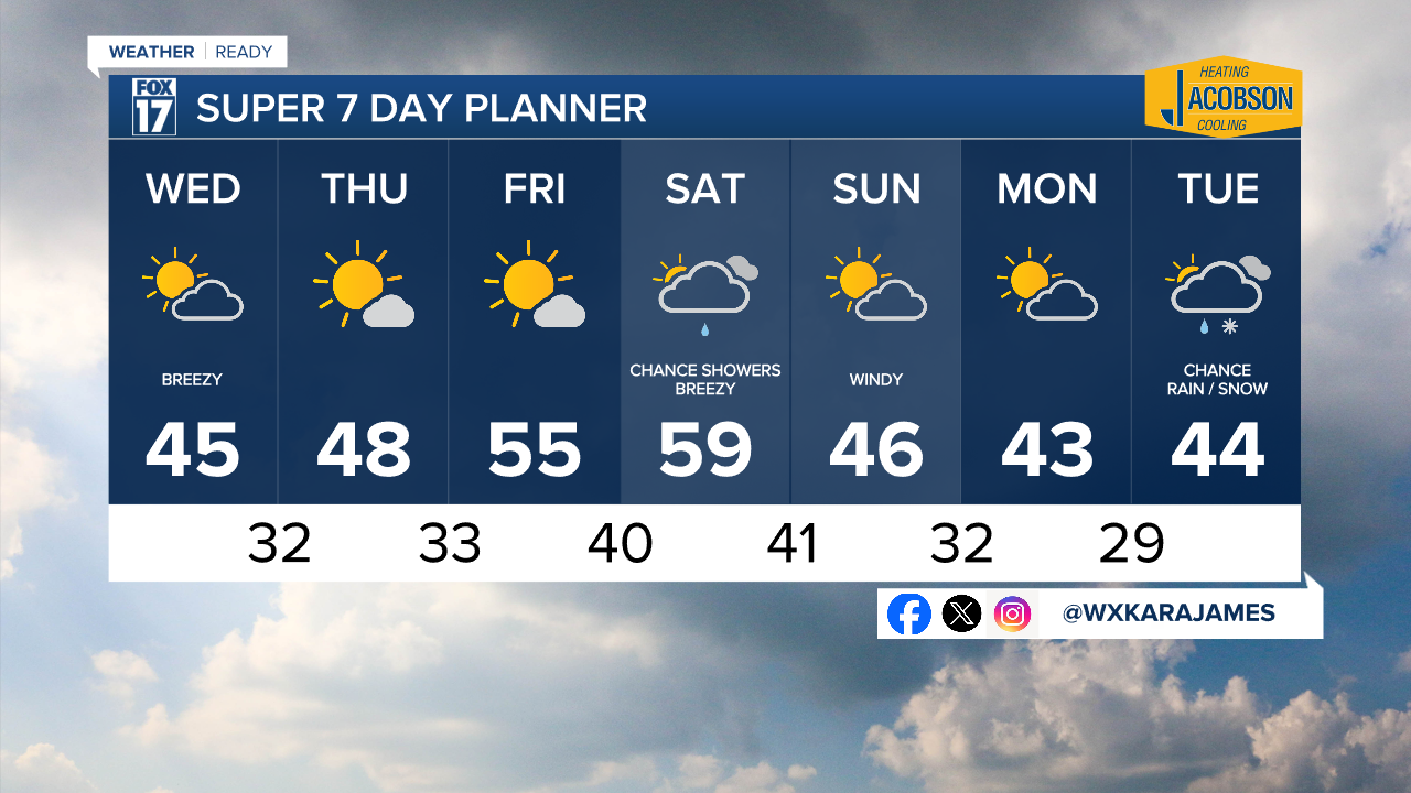
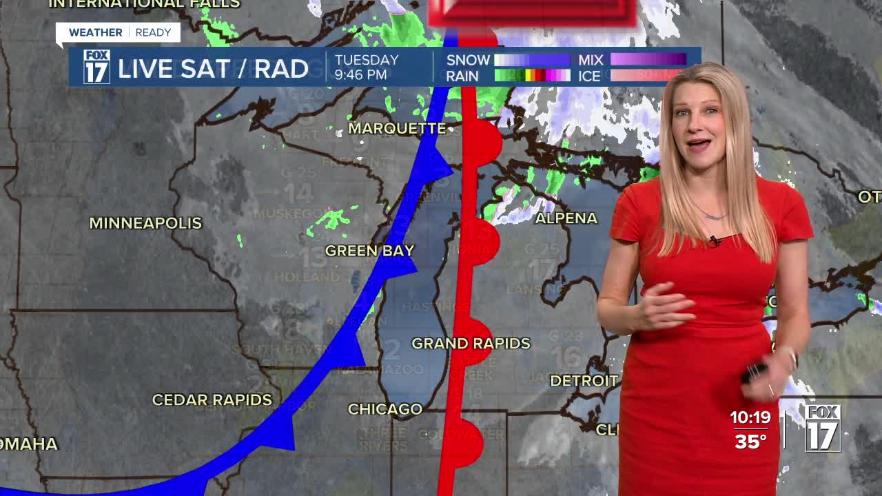
TONIGHT: Mostly cloudy with a chance of light rain/snow showers. Some patchy freezing drizzle in spots. Temperatures rising into the 40s by daybreak. Winds southwest/west at 10 to 15 mph.
WEDNESDAY: Mostly cloudy, breezy, a bit warmer. Chance of a light rain/snow shower. Highs in the mid 40s. Winds west at 10 to 20 mph.
THURSDAY: Mostly sunny and pleasant Highs in the upper 40s.
FRIDAY: Mostly sunny, pleasant, and warmer. Highs in the mid 50s.
SATURDAY: Mostly cloudy and mild. Chance of P.M./night rain showers. Highs in the mid/upper 50s.
SUNDAY: Chance of morning showers, otherwise partly sunny and mild. Highs in the mid 50s.
For the latest details on the weather in West Michigan, head to the FOX 17 Weather page.
Follow FOX 17: Facebook - X (formerly Twitter) - Instagram - YouTube
