
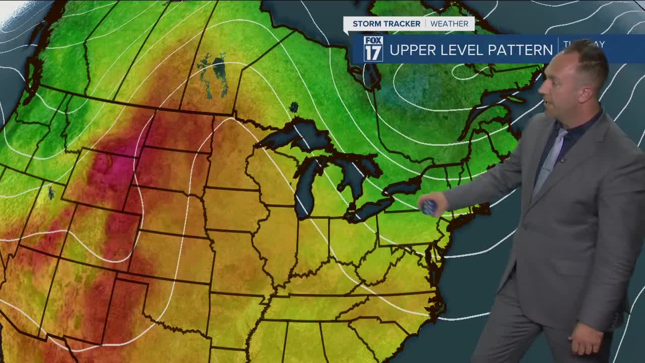


WEST MICHIGAN — The forecast from FOX 17 Meteorologist Anthony Domol: A very tranquil weather pattern has set up over the Great Lakes and is expected to remain in place throughout this coming week. That means mainly dry conditions, plenty of sun and high temperatures above average. The warmest afternoon is likely to come on Monday with high temps in the upper 70s. A cold front drops in for Tuesday knocking readings down into the lower 70s but we rebound a bit on Wednesday. Another weak cold front arrives on Thursday dropping numbers slightly. Our next shot for any rainfall around here holds off until the back half of next weekend.
**A HIGH Beach Hazards Statement and Small Craft Advisory have been posted until 8 a.m. Monday. Strong winds are expected, leading to high wave heights. Waves will range between 3 and 5 feet through Sunday. Use caution near Lake Michigan, and be careful on the piers.**
TONIGHT: Partly cloudy to mostly clear. Lows in the upper 50s. Southwest winds at 10 to 15 mph.
MONDAY: Partly cloudy. Highs in the mid 70s. Southwest to west winds at 10-15 mph.
TUESDAY: Mostly sunny. Highs in the mid 70s. Northeast winds at 5-10 mph.
WEDNESDAY: Mostly sunny. Highs in the mid 70s.
THURSDAY: Mostly sunny. Highs in the mid 70s.
FRIDAY: Mostly sunny. Highs in the mid 70s.
For the latest details on the weather in West Michigan, head to the FOX 17 Weather page.
