
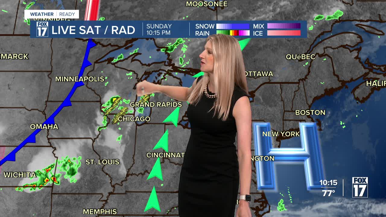


WEST MICHIGAN — The forecast from FOX 17 Weather Ready Meteorologist Kara James: Hot and humid conditions continue in West Michigan tomorrow, with the chance for a few showers and thunderstorms as well before a cold front Tuesday ends the extreme heat and humidity for a few days. Overnight isolated thunderstorms could develop especially between the lakeshore and 131. Much of the area will remain dry but heavy downpours are likely in the spots that do get rain, along with brief gusty winds. Rain and thunderstorms could develop tomorrow and Tuesday as a cold front arrives, leaving cooler and less humid conditions in its wake. The cooldown is brief though, with highs rebounding back into the upper 80s and low 90s by late week. Several counties across West Michigan are facing drought conditions, which will be worsening in the days ahead. The Perseid Meteors peak August 12/13. This is an annual event and stems from debris from the tail of the comet Swift Tuttle. Stay tuned to the FOX 17 Weather Ready Team for your latest forecast updates.
TONIGHT: Warm and muggy with isolated showers and thunderstorms. Lows in the low 70s. Winds: SW 5-15 mph
MONDAY: Partly cloudy, warm, and humid. Chance of showers/storms. Highs near 90. Winds: SW 10-20 mph
TUESDAY: Partly cloudy to partly sunny. Not as hot. Chance of a shower/storm. Highs in the mid 80s.
WEDNESDAY: Chance of an A.M. shower/storm, otherwise partly cloudy. Highs in the mid 80s.
THURSDAY: Partly cloudy. Highs in the mid-80s.
FRIDAY: Mostly Sunny and hot. Highs in the upper 80s.
SATURDAY: Hot and humid. Highs near 90.
SUNDAY: Hot and humid. Highs in the upper 80s.
For the latest details on the weather in West Michigan, head to the FOX 17 Weather page.
Follow FOX 17: Facebook - X (formerly Twitter) - Instagram - YouTube
