
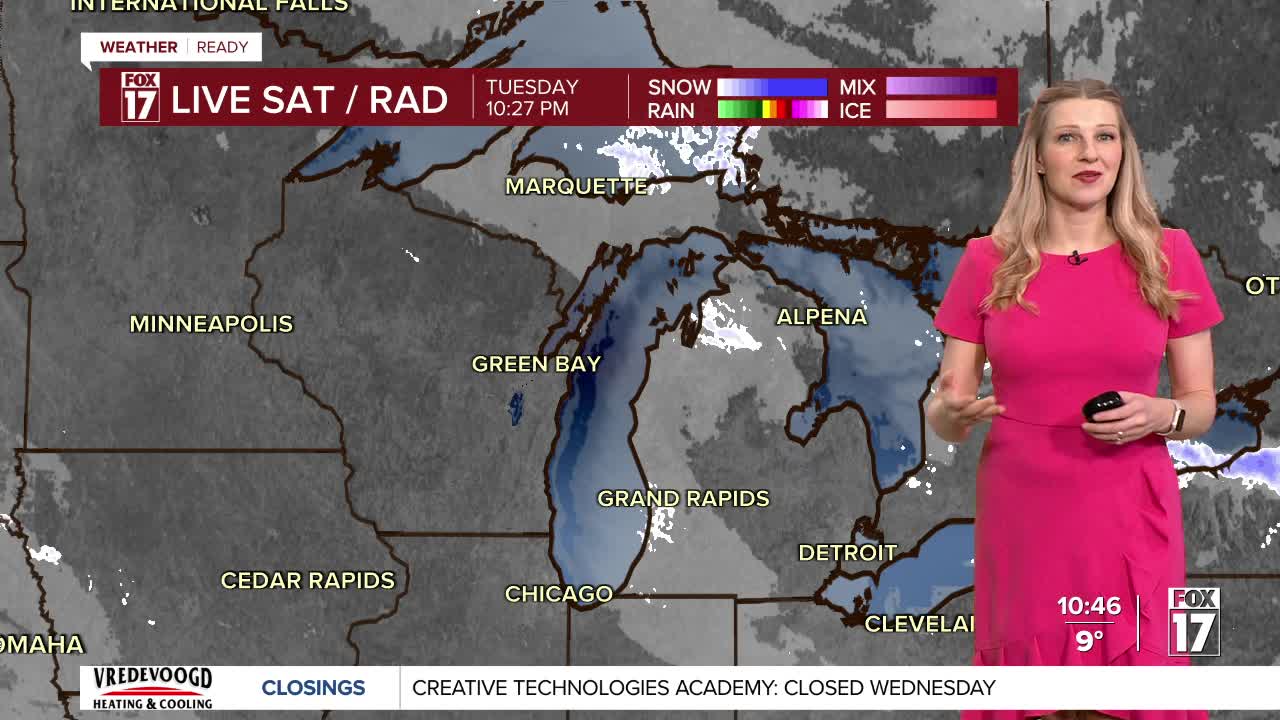


WEST MICHIGAN — From Fox 17 Weather Ready Meteorologist Kara James: After a very snowy start to the day with gusty winds, low visibility and occasional whiteout conditions, snow showers will become a little less widespread this evening and overnight. The WINTER WEATHER ADVISORY continues until 10 a.m. Wednesday for Ottawa, Allegan, Van Buren, Kalamazoo, Berrien, Cass and St. Joseph counties. Snow totals will be minimal, but continued gusty winds and blowing snow will keep low visibility and slick roads a main concern. Wind chills will be below zero but not as cold as last night, with most around -10 to -5. The overall pattern remains much colder than average all week with lows remaining in the single digits, highs mainly in the teens, and occasional snow showers each day. The pattern shifts a little bit starting this weekend, with lower snow chances, highs in the 20s and a peek of sun or two possible.
There is the potential for flight delays and cancellations due to the continued extreme winter weather. Here's the direct link to the Flight Tracker at the Gerald R. Ford International Airport
TONIGHT: Very cold, but not as windy. Few snow showers. Lows: 0 to 5, wind chills -10 to -5. Winds: W 5-10 mph
WEDNESDAY: Scattered snow showers. Breezy and very cold. Highs in the mid-teens. Wind chills: Near or below zero. Winds: W 10-20 mph
THURSDAY: Partial sunshine. Scattered lake effect snow showers. Lows: 0 to -5 Highs in the mid-teens.
FRIDAY: Variably cloudy. Very cold morning. Lows: -5 to -10 Highs around 12.
SATURDAY: Partly cloudy and cold. Highs in the teens.
SUNDAY: Partly cloudy. Highs in the low 20s.
MONDAY: Partly cloudy with chance snow shoewrs. Not as cold. Highs in the mid-20s.
TUESDAY: Partly cloudy. Highs in the mid-20s.
For the latest details on the weather in West Michigan, head to the FOX 17 Weather page.
Follow FOX 17: Facebook - X (formerly Twitter) - Instagram - YouTube
