

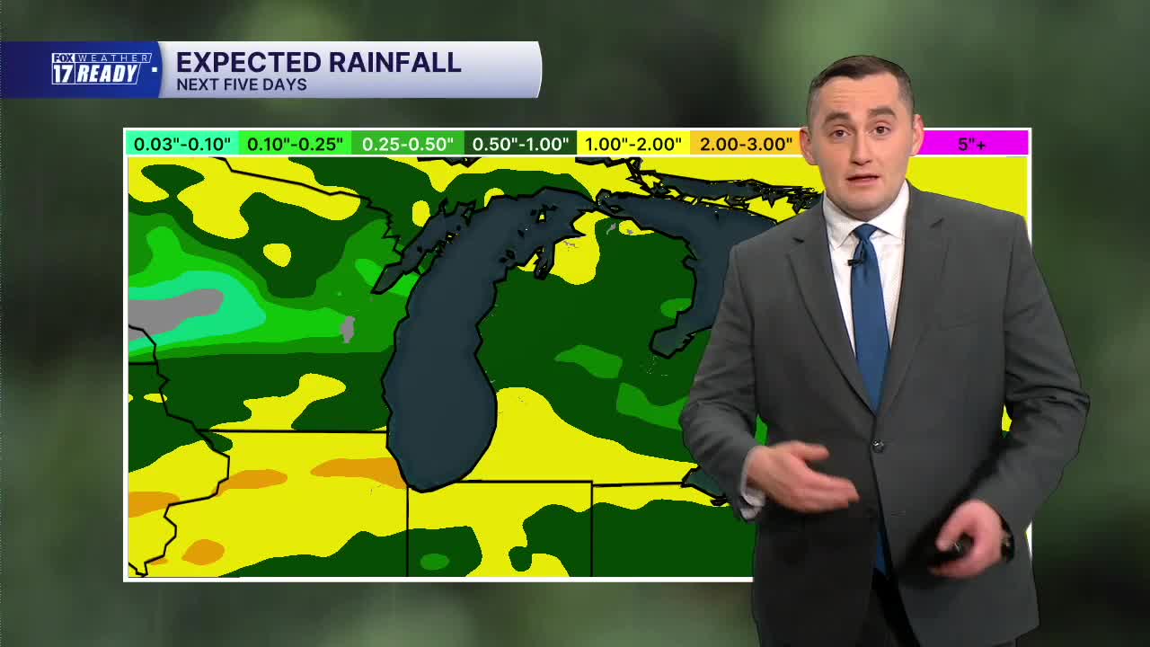


WEST MICHIGAN — The forecast from Weather Ready Meteorologist Colton Cichoracki: After a beautiful weekend in West Michigan, we will get a taste of summer to start the work week. Overnight tonight is mostly clear to partly cloudy with lows in the 50s. Monday will be the warmest day in a month with high temperatures reaching summer levels in the upper 70s and lower 80s. It will be a breezy day, however, but dry so enjoy this mild weather. Later Monday night into early Tuesday, there is a small chance for an isolated shower or thunderstorm but nothing widespread is expected. High temperatures will remain in the 70s on Tuesday but it will be slightly cooler. Later in the week, rain chances return Thursday into Friday. The big story will be the big cool down that is coming. Highs will be in the 60s on Wednesday and Thursday but then fall to the 50s by Friday. The coolest air of the season is on the way this weekend so enjoy the mild weather while we have it!
TONIGHT: Partly cloudy with lows in the middle 50s. Wind S/SW at 5-10 mph.
MONDAY: Partly cloudy with highs in the upper 70s to lower 80s. Wind SW at 10-15 mph. Chance nighttime showers/storms.
TUESDAY: Chance showers early, otherwise mostly sunny. Highs in the middle 70s. Chance nighttime showers.
WEDNESDAY: Mostly cloudy with highs in the upper 60s.
THURSDAY: Mostly cloudy with chance showers late. Highs in the lower 60s.
FRIDAY: Mostly cloudy with chance showers, windy and cooler. Highs in the upper 50s.
SATURDAY: Widespread frost early. Partly cloudy and cool with highs in the lower 50s.
SUNDAY: Mostly sunny with highs in the upper 50s.
Want alerts when inconvenient or severe weather is headed your way? Download the FOX 17 Weather app and set up notifications for where you live.
For the latest details on the weather in West Michigan, head to the FOX 17 Weather page.
Follow FOX 17: Facebook - X (formerly Twitter) - Instagram - YouTube
