

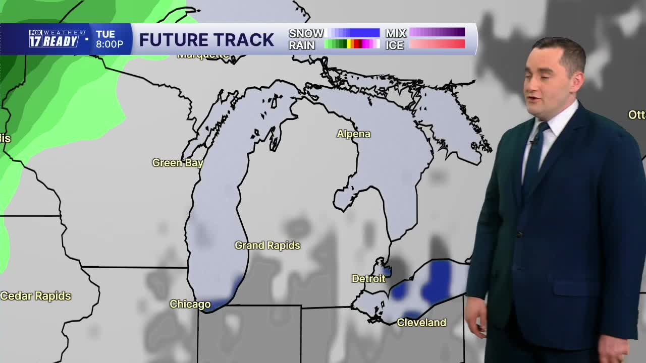


WEST MICHIGAN — The forecast from Weather Ready Meteorologist Colton Cichoracki: This weekend saw some of the nicest weather we have seen in a while with tons of sunshine and seasonably warm temperatures. This type of weather will continue into the new week but it does not last forever. Overnight and into Monday morning, mostly clear skies are expected. It is not out of the question to see some patchy fog by morning but this will not be a widespread issue. Lows will be in the 40s. Both Monday and Tuesday look fantastic with mostly sunny to partly cloudy skies. Highs will be in the mid 70s both days. Enjoy! Our next system is set to come in Wednesday into Thursday. This will be a cold front and it will bring some rain to the area, especially on Thursday. This front will also bring us a cool down by Friday and into the weekend.
TONIGHT: Mostly clear and chilly with lows in the mid to upper 40s. Patchy fog possible. Light winds.
MONDAY: Mostly sunny with highs in the lower to middle 70s. Wind N at 5-10 mph.
TUESDAY: Mostly sunny, then increasing clouds with highs in the middle 70s.
WEDNESDAY: Mostly cloudy with a chance for rain showers. Highs in the lower 70s.
THURSDAY: Mostly cloudy with rain showers. Highs in the upper 60s to lower 70s.
FRIDAY: Decreasing clouds with highs in the mid 60s.
SATURDAY: Partly cloudy. Highs in the mid 60s.
SUNDAY: Partly cloudy. Highs in the mid 60s.
Want alerts when inconvenient or severe weather is headed your way? Download the FOX 17 Weather app and set up notifications for where you live.
For the latest details on the weather in West Michigan, head to the FOX 17 Weather page.
Follow FOX 17: Facebook - X (formerly Twitter) - Instagram - YouTube
