
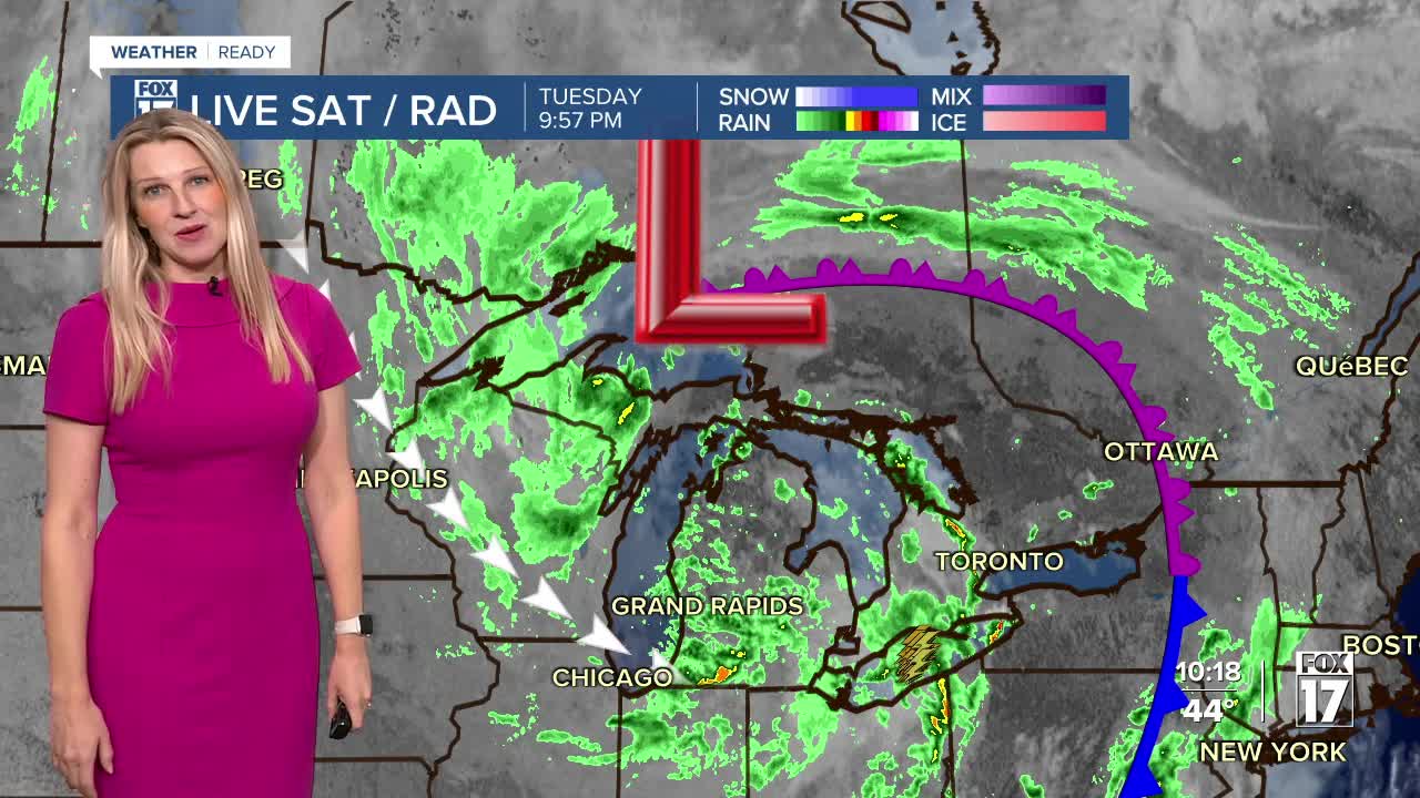


The forecast from FOX 17 Weather Ready Meteorologist Kara James: Scattered showers with a cold front Tuesday resulted in around a quarter to half of an inch of rain for many! More rain is on the way this week as an upper level low sits overhead, bringing more widespread rain and gusty winds on and off through Thursday. The colder air will generate both lake effect and lake enhanced rain showers. The coldest air of the season is on the horizon for Wednesday and Thursday with highs only reaching the upper 40s, with a stiff 15 to 20 mph breeze. Feels like temperatures both afternoons could be in the low to mid-40s. Friday and Saturday, we'll have frost possibilities again in the morning hours. Temperatures will moderate again into the weekend, with highs likely making a run at 60-degrees by Sunday. Stay with the FOX 17 Weather Ready Team for your latest forecast updates.

TONIGHT: Cloudy with showers and isolated thunderstorms early, otherwise on & off rain. Lows in the low/mid 40s. Winds west at 10 to 15 mph.
WEDNESDAY: Cloudy, breezy, blustery, and cold with rain showers likely. Perhaps a rumble of thunder. Highs only in the upper 40s. Winds west at 10 to 20 mph. Gusts 30/35 mph.
THURSDAY: A few morning showers possible, otherwise partly sunny to mostly cloudy and cool. Highs in the upper 40s.
FRIDAY: Mostly sunny to partly cloudy. Highs in the lower 50s.
SATURDAY: Partly cloudy to partly sunny. Highs in the mid 50s.
SUNDAY: Partly cloudy to partly sunny. Slight chance a shower. Highs in the upper 50s.
For the latest details on the weather in West Michigan, head to the FOX 17 Weather page.
Follow FOX 17: Facebook - X (formerly Twitter) - Instagram - YouTube
