


WEST MICHIGAN — Beautiful weekend weather is a guarantee! Sunshine is to be in full force for most hours today helping to drive the mercury into the 40s this afternoon. Similar to yesterday, a few clouds cannot be ruled out from drifting across the horizon but certainly not many. A batch of high-level cirrus clouds will shift in from the west mid to late afternoon potentially filtering a little sun by late day but again nothing substantial. Look for temperatures to rise into the lower 40s in Grand Rapids this afternoon, potentially the middle 40s in Kalamazoo and Battle Creek southward to the Indiana line. Southwest winds will continue breezy again today at 10-20 mph gusting to 25 or 30 mph at times. No advisories are listed for the Lakeshore but waves can reach the 5 to 7 foot range.
The warming trend continues for Sunday with readings headed to near 50 degrees by day's end on the back half of the weekend. The best odds of hitting 50 degrees on Sunday will be south of Grand Rapids but the chance is certainly there locally as well. Mostly sunny skies can be expected. High clouds begin to increase overnight Sunday into Monday morning signaling a slow change in the weather pattern through this coming workweek.
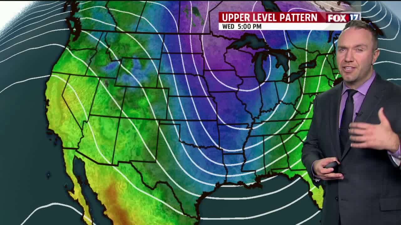
Two pieces of energy have to be tracked in the days ahead, one system now over southern California as well as upper-level energy over the northeast Pacific Ocean. The former will head across Arizona, New Mexico, and Texas and then take on a northeastward track in the direction of the Great Lakes by late in the day on Monday. This system will be weakening but it will spread some light rain, perhaps snow, into southern sections of the viewing area Monday evening into Tuesday morning. The northward progression of this precipitation will struggle as it will be running into dry air combined with the fact that the system itself will be in a dampening or weakening phase at that time.
The aforementioned second piece of energy currently over the northeast Pacific will be dropping into the central tier of states at this point helping to carve out a large scale trough over the central United States. This second system is projected to eventually move somewhere through the southern Great Lakes bringing a band of snow along with it.
The complex nature of the pattern leading to the development of this potential storm system leaves a wide range of possibilities that likely remain with it's eventual track and strength. Just be aware that the prospect exists for accumulating snow somewhere nearby as we go late Tuesday into especially Wednesday. One thing that looks to be for certain is that late season arctic air is to follow this system and thus we will be turning out quite cold for the late workweek time frame. Look for highs to be in the middle 20s for Thursday and Friday and lows in the teens. Lake-effect snow showers look to be a good bet as well.
