


WEST MICHIGAN — After Mother Nature blessed us with snow just in time for Christmas, the active stretch isn't going to end just because the holidays are coming to a close.
Snow is expected as we head into the second half of the weekend with some lake-effect snow behind it! The one difference with this system is it won't be snow for everyone, unlike what we saw on the 24th and 25th.

Starting Sunday afternoon, rain and snow will develop along the lakeshore as well as along and north of I-96. If you live in the I-96 corridor or points north, it will be mainly a wintry mix and snow for you. Those that are south of I-96 and along Lake Michigan will stay as rain until we switch to lake snow overnight.
Snowfall will be light with this system. An dusting to an inch is possible where it will be all snow and wintry mix Sunday along and north of I-96. If you are south of I-96, you will see mainly a dusting up to possibly an inch. The only difference with the southerly snow amounts is that this will come Sunday night into Monday. Those in the northern counties will see their snow starting late Sunday.
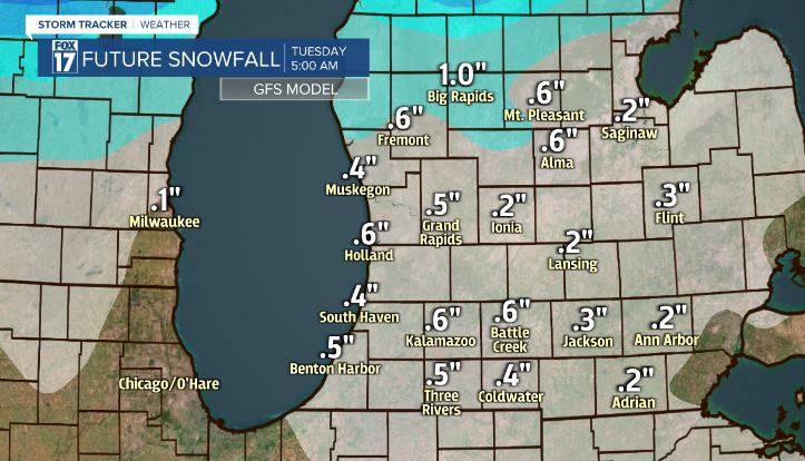
The morning commute Monday could be slow and slick across the entire area after the system snow and as possible lake-effect snow falls. Stay alert and drive slow! We will have another event mid-week starting overnight Tuesday continuing into early Thursday transitioning from snow/wintry mix to rain and back. Check back for updates mid-week.
