


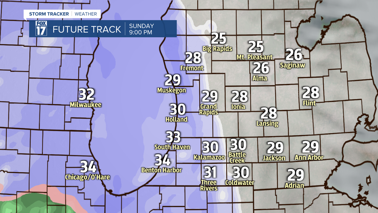
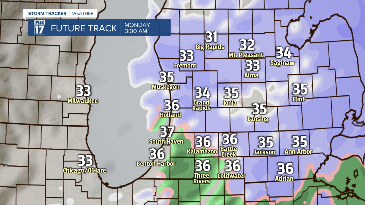
WEST MICHIGAN — After a tranquil Sunday with decent temperatures finally returning to the lower half of the 30s, we get set for another dose of sticking snow later this evening.
Snow is expected to develop after 8 o'clock with the focus for accumulations between 10 P.M. and 4 A.M. locally in Grand Rapids. With snow arriving from west to east, the time table will be a bit earlier nearer the Lakeshore and a bit later for folks residing in eastern sections of the viewing area.
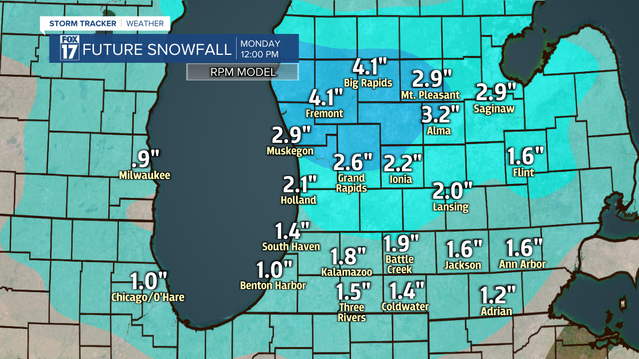
A 2-3" type of snow looks to be a good bet in Grand Rapids, with a bit more snow to the north and a bit lesser snow to the south. As much as 4 inches can fall locally in a heavier corridor just off to the north, while perhaps a couple inches can fall in Kalamazoo and Battle Creek.
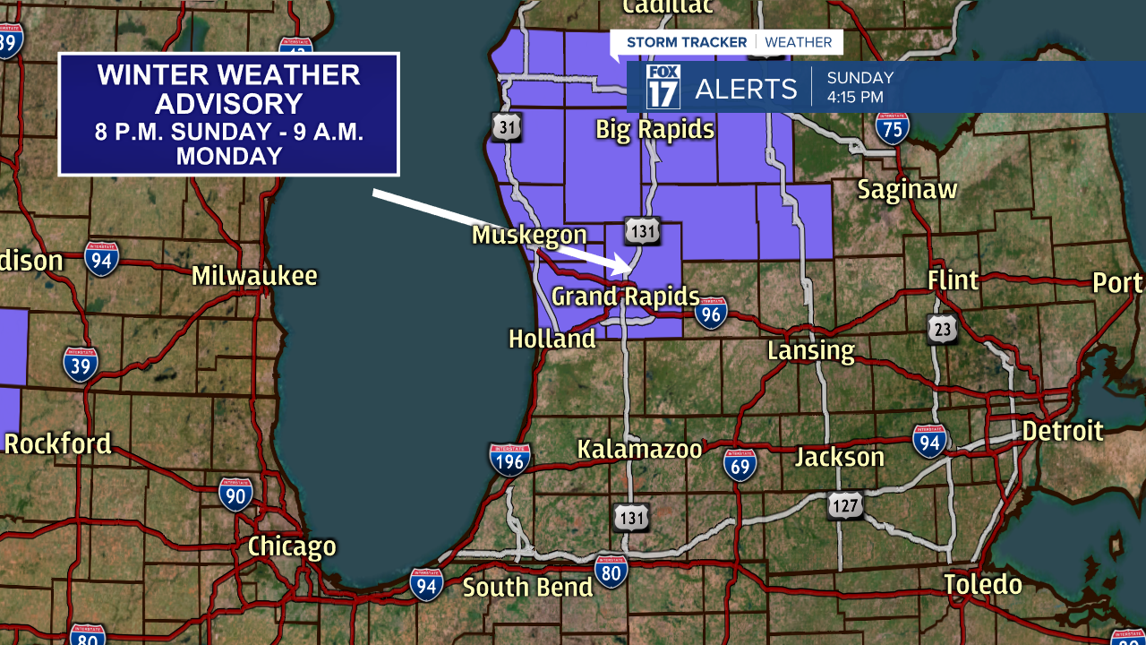
A Winter Weather Advisory offically goes into effect at 8 P.M. tonight and expires at 9 A.M. Monday for Oceana, Newaygo, Mecosta, Muskegon, Montcalm, Ottawa, and Kent counties.
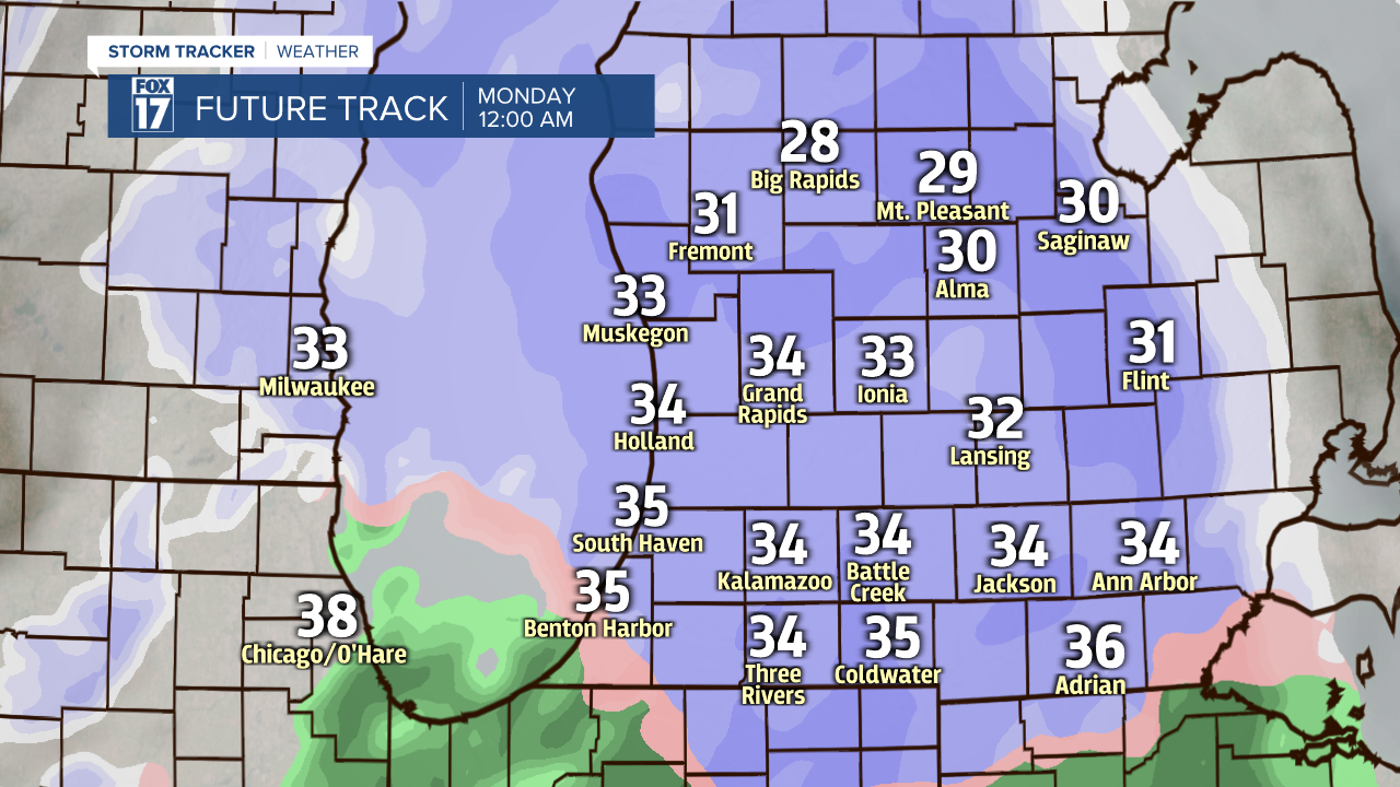
The important snow will basically be over by say 7 A.M. but you will want to be mindful of slippery roadways as you set sail for work Monday morning. With temperatures at or potentially above the freezing mark in the overnight, this should help road crews to improve conditions at a quicker pace. Some mixing with drizzle or rain drops can occur particularly around and south of I-94 toward midnight and especially beyond.
Stay tuned to FOX 17 on-air and online for weather updates as we go through this evening.
