

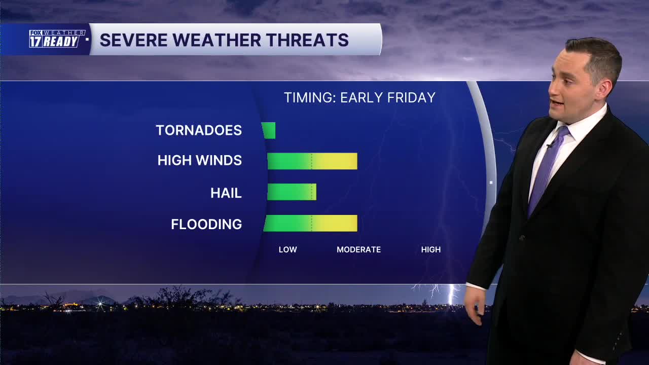


WEST MICHIGAN — The forecast from FOX 17 Weather Ready Meteorologist Colton Cichoracki: West Michigan missed out on some severe weather on Thursday but some active weather is expected by Friday morning. A round of thunderstorms will develop in Wisconsin overnight and then move into West Michigan after 4 a.m. A few severe storms will be possible during this time, with areas south of I-96 included in a Marginal Risk (level 1/5). Main threats will once again be damaging winds, small hail, and heavy downpours which could result in localized flooding. Rain and storms will continue through about noon, then the afternoon looks dry. It's not long before rain and storm chances return late Friday evening into Friday night. The weather pattern will start to improve this holiday weekend, especially by Sunday. Rain and storms may linger into Saturday morning, but the rest of the weekend should be dry. A big drop in humidity will make it feel a lot more comfortable on Sunday and Monday with high temperatures around 80. Closer-to-average temperatures are expected through next week.
TONIGHT: Showers and storms late, some severe possible with gusty winds and small hail. Lows in the upper 60s/low 70s. Wind light/variable.
FRIDAY: A.M. showers/storms, then partly to mostly cloudy. Highs in the low/mid 80s and very humid. Wind light/variable. Chance late evening/nighttime storms.
SATURDAY: Chance morning rain/storms, then mostly cloudy. Highs around 80 and humid.
SUNDAY: Mostly sunny with highs in the upper 70s to around 80 and less humid.
LABOR DAY: Partly cloudy with highs in the upper 70s to around 80.
TUESDAY: Partly cloudy with highs in the low 80s.
WEDNESDAY: Mostly cloudy with chance showers, and highs in the low 80s.
THURSDAY: Partly cloudy with highs in the upper 70s.
Want alerts when inconvenient or severe weather is headed your way? Download the FOX 17 Weather app and set up notifications for where you live.
For the latest details on the weather in West Michigan, head to the FOX 17 Weather page.
Follow FOX 17: Facebook - X (formerly Twitter) - Instagram - YouTube
